Chest opened
+${chestReward.xp} XP
Explorer
NOUVEAU ×${chestReward.collectible.quantity}
tapez pour fermer
Chest locked

Open chests in the app

Around Us is built for your phone — chests unlock when you walk, explore and capture nearby places.

Enable Location

We need your location to show you interesting places around you

Discover nearby places

Find interesting locations and hidden gems around you

Precise directions

Get accurate directions and distances to places

Your location is never shared with other users. It's only used when you tap the location button.

Freienwalde Basin

Log in to your account

Start exploring — it's free

Trusted by 72,891 travelers worldwide

Continue with Google
Continue with Apple
or

We will send you a code to connect

By continuing, you accept our Terms and Conditions and our Privacy Policy

Check your inbox

We've sent a pincode in your inbox. Please enter the code below.

Freienwalde Basin
Discussion Reviews 2 Photos
50.9k Popularity

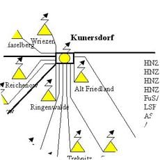
Freienwalde Basin, Inland delta in Märkisch-Oderland District, Germany.

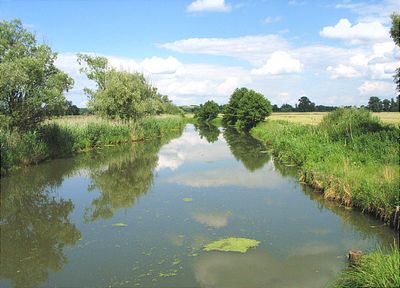
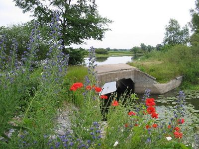
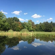
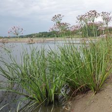
The Freienwalde Basin is an extensive inland delta spanning across two countries with flat agricultural land and a network of organized waterways. The landscape is shaped by straight drainage channels, embankments, and scattered settlements arranged throughout the plains.

The region was systematically drained and transformed starting in the 18th century through royal initiative to create productive farmland. This large-scale project converted one of Europe's wildest areas into a major agricultural region.

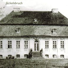
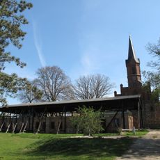
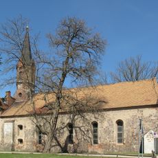
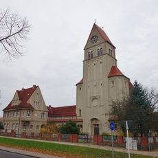
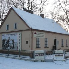
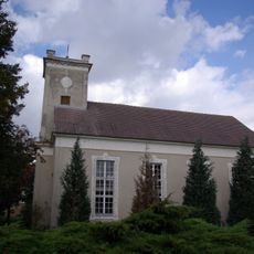
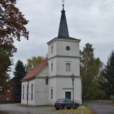
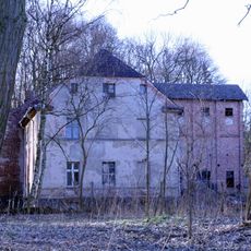
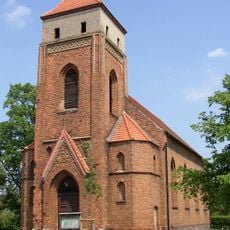
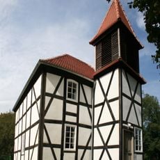
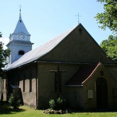
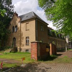
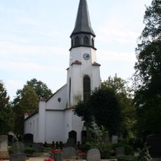
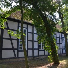
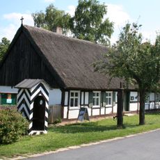
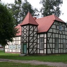
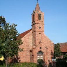
The region reflects agricultural traditions through settlements with distinctive architecture that developed over centuries of farming. Visitors can see how local life remains closely connected to working the land.

The area has a well-developed network of hiking and cycling paths connecting villages across the plains. Visitors should expect flat terrain and can explore year-round, though spring through early autumn offers the best conditions.

A network of automated pumping stations continuously removes water from beneath the ground to keep the land dry for farming. This hidden engineering system is essential for agriculture in the area and operates around the clock.

The community of curious travelers

AroundUs brings together thousands of curated places, local tips, and hidden gems, enriched daily by 60,000 contributors worldwide.

Start exploring
Location
Location
Location
Shares border with
Barnim Plateau, Lubusz Land
GPS coordinates
52.70000,14.25000
Latest update
December 14, 2025 18:28
Reviews
Share your experience

No review yet

Discussions
Start a discussion...

No discussion yet

« Freienwalde Basin - Inland delta in Märkisch-Oderland District, Germany » is provided by Around Us (aroundus.com). Images and texts are derived from Wikimedia project under a Creative Commons license. You are allowed to copy, distribute, and modify copies of this page, under the conditions set by the license, as long as this note is clearly visible.

Discover hidden gems everywhere you go!

From secret cafés to breathtaking viewpoints, skip the crowded tourist spots and find places that match your style. Our app makes it easy with voice search, smart filtering, route optimization, and insider tips from travelers worldwide. Download now for the complete mobile experience.

Around Us App Screenshot

A unique approach to discovering new places

Le Figaro

All the places worth exploring

France Info

A tailor-made excursion in just a few clicks

20 Minutes

Around Us
Travel Guide & Maps
Download

Send to your phone

QR Code
1

Open the camera app on your mobile.

2

Point at the QR code with your camera. A notification will appear.

3

Tap the notification to open the link.