Sauerland, Geographic region in North Rhine-Westphalia, Germany
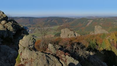
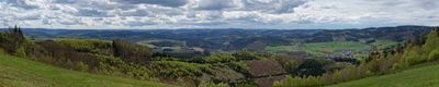
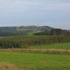
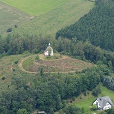
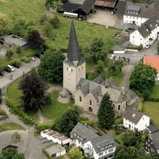
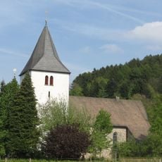
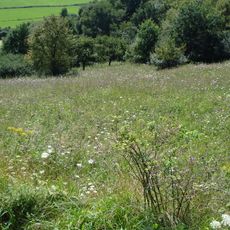
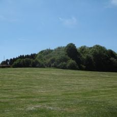
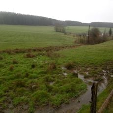
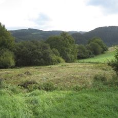
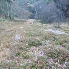
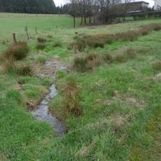
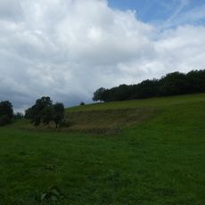
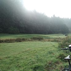
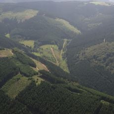
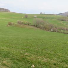
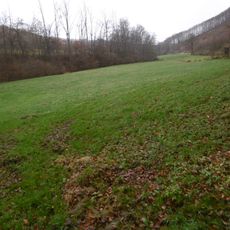
Sauerland is a region in southeastern North Rhine-Westphalia and neighboring Hesse marked by wooded hills, deep valleys, and many rivers that wind through the terrain. The landscape shows gentle rises where small settlements nestle between slopes and streams cut their way through the green upland.
After the Napoleonic Wars the region became part of Prussia and was incorporated into the province of Westphalia. This incorporation in the early 19th century brought new administrative structures and shaped the further development of the area.
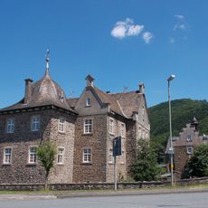
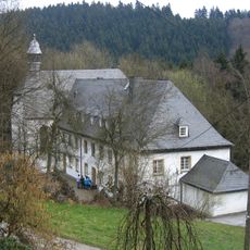
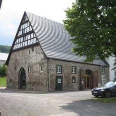
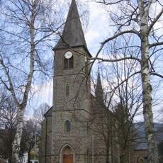
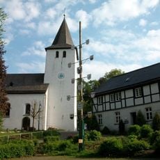
The name Sauerland first appeared in a 1266 document as Suderland, referring to the southern position of this territory. Today visitors notice half-timbered houses and slate-roofed villages that follow the contours of the wooded slopes.
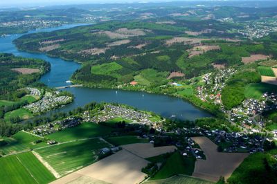
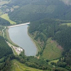
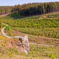
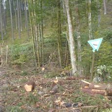
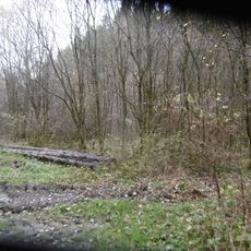
More than 30,000 kilometers of marked hiking trails cross the area and lead through forests, over ridges, and along watercourses. Several large reservoirs, including Möhne Dam and Bigge Dam, offer additional orientation points and recreation options for visitors.
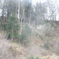
The geological foundation consists of rock formations from the Middle and Upper Devonian periods that formed around 400 to 360 million years ago. Slate, sandstone, and greywacke shape the rolling relief and are visible in many places where quarries or rock outcrops show the layering.
The community of curious travelers
AroundUs brings together thousands of curated places, local tips, and hidden gems, enriched daily by 60,000 contributors worldwide.