Enable Location

We need your location to show you interesting places around you

Discover nearby places

Find interesting locations and hidden gems around you

Precise directions

Get accurate directions and distances to places

Your location is never shared with other users. It's only used when you tap the location button.

Erftstadt

Log in to your account

Start exploring — it's free

Trusted by 62,765 travelers worldwide

Continue with Google
Continue with Apple
or

We will send you a code to connect

By continuing, you accept our Terms and Conditions and our Privacy Policy

Check your inbox

We've sent a pincode in your inbox. Please enter the code below.

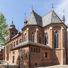
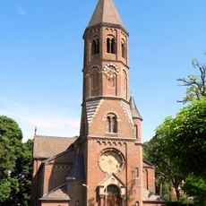
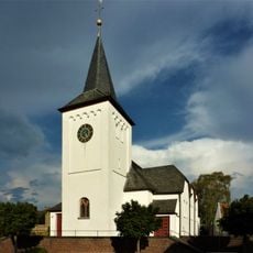
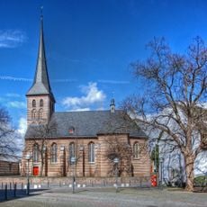
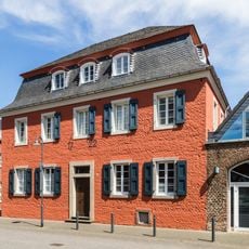
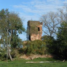
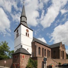
Erftstadt, Municipal center in Rhein-Erft District, Germany.

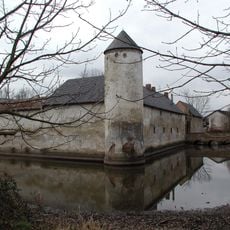
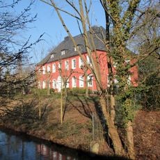
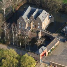
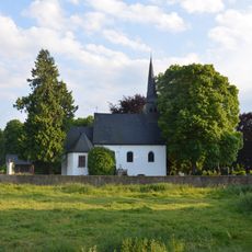
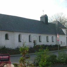
Erftstadt is a medium-sized district town in Rhein-Erft District, North Rhine-Westphalia, that extends across a wide area with 14 districts. The river that gives the town its name runs through the territory and connects the individual districts, which are distributed between fields and residential areas.

The municipality was formed in 1969 through a territorial reform that merged Lechenich, Liblar and several other independent villages into a single administrative unit. This reorganization aimed to modernize the regional municipal structure and make administration more efficient.

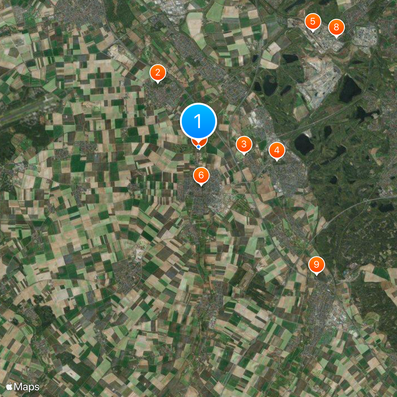
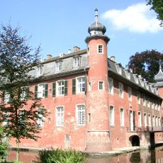
The coat of arms displays a green background with a silver stripe representing the river and two yellow squares for the two former main settlements. These symbols recall how the municipality grew from several independent communities that merged together.

The location between Cologne and the rural surroundings makes the town easily accessible via regional connections and roads. Those wishing to explore the different districts should keep in mind that they are spread over a larger area and not all are within walking distance of each other.

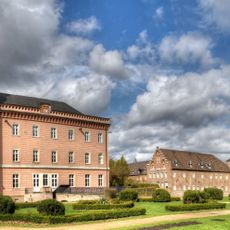
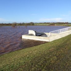
The soil in the surrounding area contains thick loess deposits that have enabled intensive agriculture for centuries. These fertile areas continue to shape the landscape between the districts and the industrial zones today.

The community of curious travelers

AroundUs brings together thousands of curated places, local tips, and hidden gems, enriched daily by 60,000 contributors worldwide.

Start exploring
Elevation above the sea
94 m
Shares border with
Zülpich, Hürth, Brühl, Kerpen, Weilerswist, Nörvenich, Vettweiß
Phone
GPS coordinates
50.81667,6.76667
Latest update
December 13, 2025 17:48
« Erftstadt - Municipal center in Rhein-Erft District, Germany » is provided by Around Us (aroundus.com). Images and texts are derived from Wikimedia project under a Creative Commons license. You are allowed to copy, distribute, and modify copies of this page, under the conditions set by the license, as long as this note is clearly visible.

Discover hidden gems everywhere you go!

From secret cafés to breathtaking viewpoints, skip the crowded tourist spots and find places that match your style. Our app makes it easy with voice search, smart filtering, route optimization, and insider tips from travelers worldwide. Download now for the complete mobile experience.

Around Us App Screenshot

A unique approach to discovering new places

Le Figaro

All the places worth exploring

France Info

A tailor-made excursion in just a few clicks

20 Minutes

Around Us
Travel Guide & Maps
Download

Send to your phone

QR Code
1

Open the camera app on your mobile.

2

Point at the QR code with your camera. A notification will appear.

3

Tap the notification to open the link.