Chest opened
+${chestReward.xp} XP
Explorer
NOUVEAU ×${chestReward.collectible.quantity}
tapez pour fermer
Chest locked

Open chests in the app

Around Us is built for your phone — chests unlock when you walk, explore and capture nearby places.

Enable Location

We need your location to show you interesting places around you

Discover nearby places

Find interesting locations and hidden gems around you

Precise directions

Get accurate directions and distances to places

Your location is never shared with other users. It's only used when you tap the location button.

Ith

Log in to your account

Start exploring — it's free

Trusted by 72,892 travelers worldwide

Continue with Google
Continue with Apple
or

We will send you a code to connect

By continuing, you accept our Terms and Conditions and our Privacy Policy

Check your inbox

We've sent a pincode in your inbox. Please enter the code below.

Ith
Discussion Reviews 1 Photos
26.5k Popularity

Ith, Mountain range in Lower Saxony, Germany.

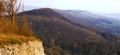
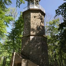
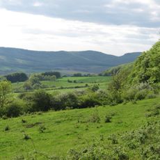
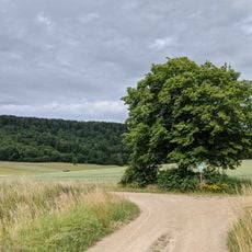
The Ith is a mountain range in Lower Saxony featuring limestone cliffs and reaching 439 meters at Lauensteiner Kopf peak. The formation extends across central Germany and creates a distinctive ridge within the surrounding flat terrain.

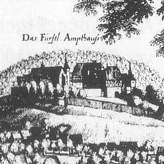
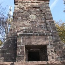
During World War II, the German military established a glider training school on the mountain to prepare pilots for aviation operations. This facility became a significant military installation in the region during that period.

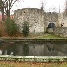
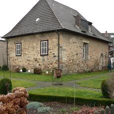
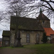
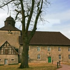
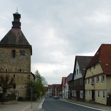
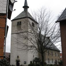
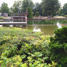
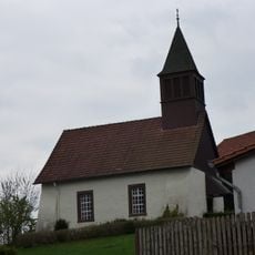
The mountain range serves as a gathering place for outdoor enthusiasts and connects several small towns in the surrounding valley. Local villages below maintain traditional crafts and regional food culture that travelers can experience when visiting the area.

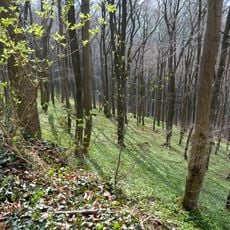
Hikers can access marked trails of varying difficulty year-round and find directional signs along most routes. Local information centers offer detailed maps to help visitors choose paths suited to their fitness level and interests.

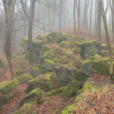
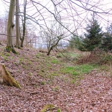
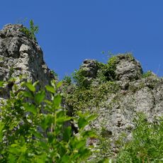
The mountain range contains the longest line of rock crags in North Germany, with the Lüerdissener Klippen formations rising dramatically. These cliff faces form one of the most visually striking geological features in the northern German landscape.

The community of curious travelers

AroundUs brings together thousands of curated places, local tips, and hidden gems, enriched daily by 60,000 contributors worldwide.

Start exploring
Location
Elevation above the sea
439 m
GPS coordinates
52.05000,9.57000
Latest update
December 20, 2025 15:06
Reviews
Share your experience

No review yet

Discussions
Start a discussion...

No discussion yet

« Ith - Mountain range in Lower Saxony, Germany » is provided by Around Us (aroundus.com). Images and texts are derived from Wikimedia project under a Creative Commons license. You are allowed to copy, distribute, and modify copies of this page, under the conditions set by the license, as long as this note is clearly visible.

Discover hidden gems everywhere you go!

From secret cafés to breathtaking viewpoints, skip the crowded tourist spots and find places that match your style. Our app makes it easy with voice search, smart filtering, route optimization, and insider tips from travelers worldwide. Download now for the complete mobile experience.

Around Us App Screenshot

A unique approach to discovering new places

Le Figaro

All the places worth exploring

France Info

A tailor-made excursion in just a few clicks

20 Minutes

Around Us
Travel Guide & Maps
Download

Send to your phone

QR Code
1

Open the camera app on your mobile.

2

Point at the QR code with your camera. A notification will appear.

3

Tap the notification to open the link.