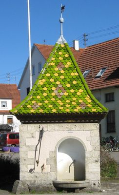
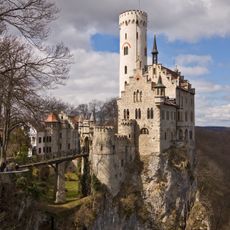
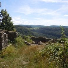
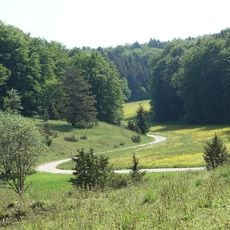
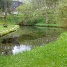
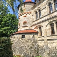
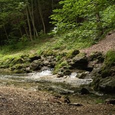
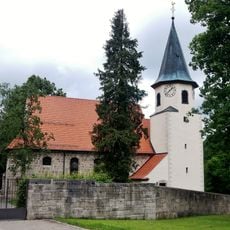
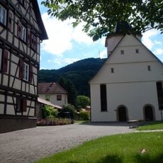
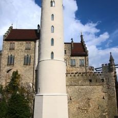
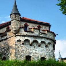
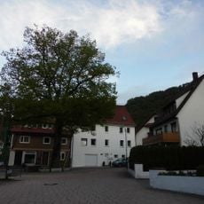
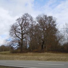
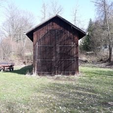
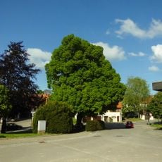
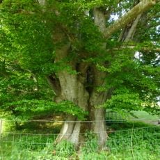
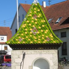
Engstingen, municipality in Germany
Location: Reutlingen
Location: Engstingen-Hohenstein VVG
Elevation above the sea: 700 m
Shares border with: Lichtenstein, Hohenstein, Gomadingen, St. Johann
Website: http://engstingen.de
GPS coordinates: 48.38694,9.28556
Latest update: March 6, 2025 12:13
Lichtenstein Castle
3 km
Burg Alt-Lichtenstein
2.6 km
Olgahöhle
3.5 km
Greifenstein Castle
5.8 km
Goldloch
4.7 km
Automuseum Engstingen
270 m
Greuthau
2.3 km
Ohnastetter Bühl
6 km
Bauenofen-Häulesrain-Tal
4.1 km
Lauterquelle
6.2 km
Eugenienturm
3 km
Echazquelle
2.6 km
Sankt Blasiuskirche
4.5 km
Galluskirche
3.4 km
Johanneskirche
5.4 km
Automuseum
267 m
Reißenbachquelle
5.4 km
Augustenturm
2.9 km
Wilhelmsturm
3 km
Marienturm
2.9 km
Friedenslinde Kirchplatz Honau
3.4 km
Signalbaum
3.9 km
Gießstein
4.8 km
2 Weidbuchen
1.9 km
Lichtenstein locomotive shed
2.3 km
Friedenslinde Holzelfingen
4.5 km
Weidbuche Eichbühl
4.2 km
Sauerbrunnen
938 mVisited this place? Tap the stars to rate it and share your experience / photos with the community! Try now! You can cancel it anytime.
Discover hidden gems everywhere you go!
From secret cafés to breathtaking viewpoints, skip the crowded tourist spots and find places that match your style. Our app makes it easy with voice search, smart filtering, route optimization, and insider tips from travelers worldwide. Download now for the complete mobile experience.
A unique approach to discovering new places❞
— Le Figaro
All the places worth exploring❞
— France Info
A tailor-made excursion in just a few clicks❞
— 20 Minutes