Gammertingen, municipality in Germany
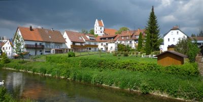
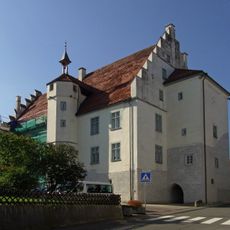
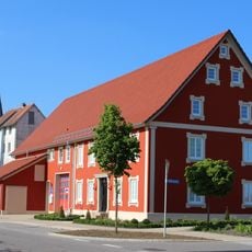
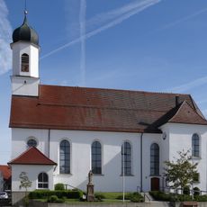
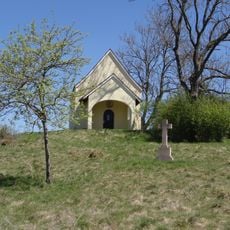
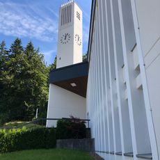
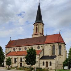
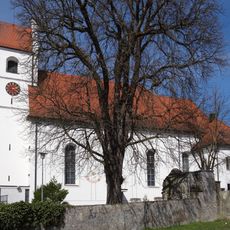
Gammertingen is a small town in Landkreis Sigmaringen in southwestern Baden-Württemberg, situated at the edge of the Schwäbische Alb hills. It has developed over centuries from a medieval settlement and features traditional architecture with tiled roofs, narrow streets, and a historic town center with simple stone buildings.
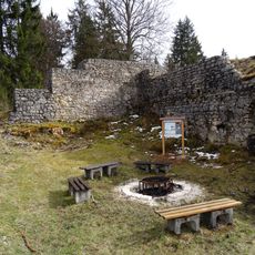
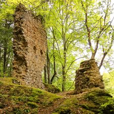
Gammertingen originated as a medieval settlement and grew slowly through agriculture and local trade. Over the centuries it changed hands between different rulers and developed into an administrative center for nearby villages.
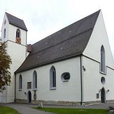
Gammertingen's name reflects its medieval roots in the region. The community gathers regularly at markets, festivals, and in the town square, where locals maintain traditions and share their customs with visitors.
The town has a train station with connections to larger cities in the region and regular bus service. Local services include shops, a town hall, post office, and healthcare facilities that support everyday needs.
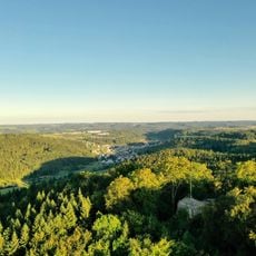
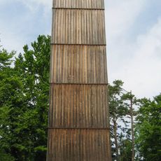
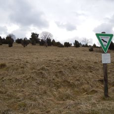
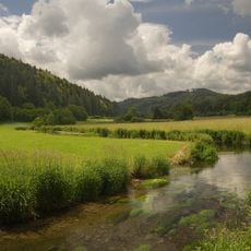
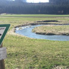
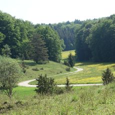
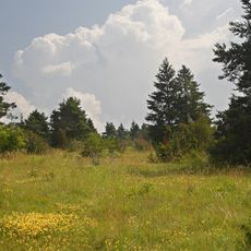
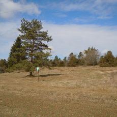
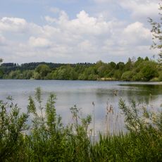
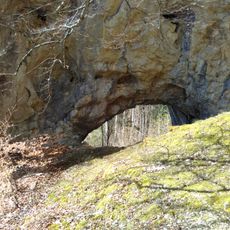
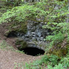
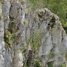
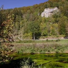
The Lauchert River flows through the area and offers excellent walking paths and nature experiences winding through green forests and open fields. This direct access to nature makes the town a good starting point for exploring the surrounding Schwäbische Alb landscape.
The community of curious travelers
AroundUs brings together thousands of curated places, local tips, and hidden gems, enriched daily by 60,000 contributors worldwide.