
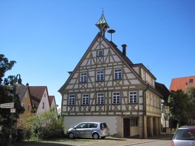
Schlaitdorf, municipality in Germany
Location: Esslingen
Location: Neckartenzlingen GVV
Elevation above the sea: 398 m
Website: http://schlaitdorf.de
GPS coordinates: 48.60361,9.22444
Latest update: March 5, 2025 10:32
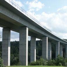
Aichtalbrücke
1.9 km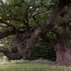
Sulzeiche
3.8 km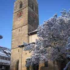
Martinskirche (Neckartailfingen)
3.1 km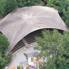
Naturtheater Grötzingen
3.7 km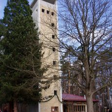
Uhlberg
3.8 km
Gutenhalde
4 km
Burg Neuenriet
906 m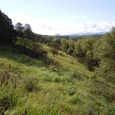
Schönrain
2.2 km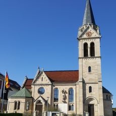
Evangelische Kirche Häslach
2.4 km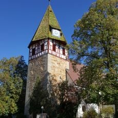
Pfarrkirche Walddorf
3.5 km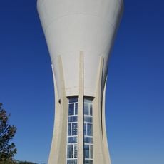
Wasserturm Häslach
2.3 km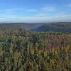
Schönbuch
3.8 km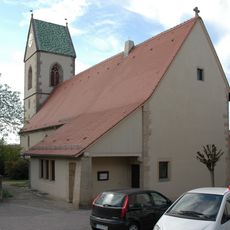
Sankt Wendelin
127 m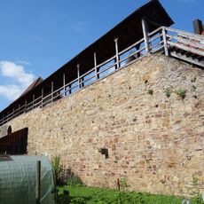
Stadtmauer Grötzingen
3.9 km
Pumpstation Schaichtal
3.2 km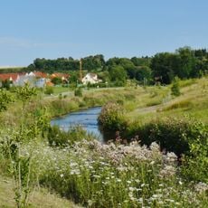
Aichtal mit angrenzenden Gebieten
3.5 km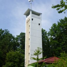
Uhlberg Tower
3.7 km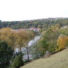
LSG 'Neckar-, Erms- und Autmuttal im Verwaltungsraum Neckartenzlingen' (4 Teilgebiete) vom 08.08.1980 geändert am 03.09.1984 und 10.04.1086
2.7 km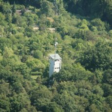
Baumbachtal - Uhlberg
4.1 km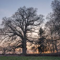
Sulzeiche
3.8 km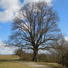
1 Linde (Lutherlinde)
3.1 km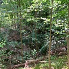
Stubensandsteinbruch mit Tümpel
1.6 km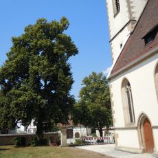
Linde bei der Ev. Kirche
1.8 km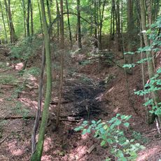
Stubensandsteinbruch mit Wasserfläche
1.5 km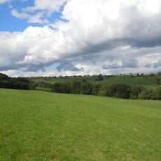
Höllbach mit Ufergehölz
804 m
17 Linden (Lindenallee)
3.8 km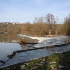
Neckarinseln bei Neckartenzlingen
2 km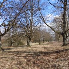
Lindenallee am Schützenhaus
4 kmReviews
Visited this place? Tap the stars to rate it and share your experience / photos with the community! Try now! You can cancel it anytime.
Discover hidden gems everywhere you go!
From secret cafés to breathtaking viewpoints, skip the crowded tourist spots and find places that match your style. Our app makes it easy with voice search, smart filtering, route optimization, and insider tips from travelers worldwide. Download now for the complete mobile experience.

A unique approach to discovering new places❞
— Le Figaro
All the places worth exploring❞
— France Info
A tailor-made excursion in just a few clicks❞
— 20 Minutes