
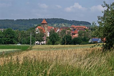
Ötisheim, municipality in Germany
Location: Enz
Location: Mühlacker VVG
Elevation above the sea: 243 m
Website: https://oetisheim.de
GPS coordinates: 48.96194,8.80972
Latest update: March 7, 2025 00:16
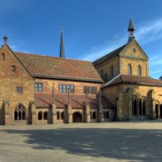
Maulbronn Monastery
4.4 km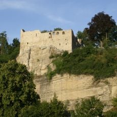
Burg Löffelstelz
3.4 km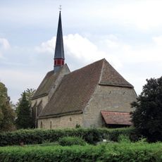
Liebfrauenkirche Lienzingen
3.9 km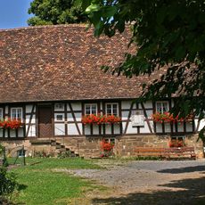
Waldensermuseum Schönenberg
1.4 km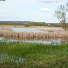
Roßweiher
4.7 km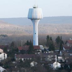
Mühlacker Water Tower
3.5 km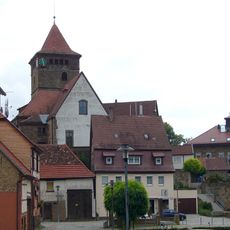
St. Michael
534 m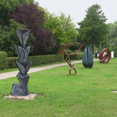
Skulpturenweg Maulbronn
4.3 km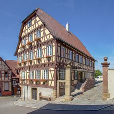
Schönenberger Straße 1
549 m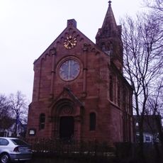
Henri Arnaud Church
1.4 km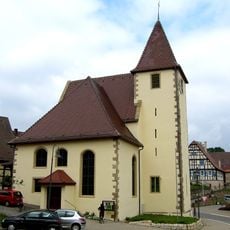
Protestant Church
4 km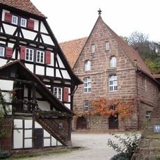
Klosterhof 28
4.3 km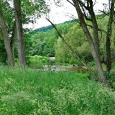
Enztal zwischen Niefern und Mühlacker
3.7 km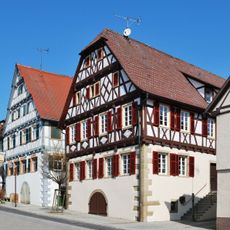
Knittlinger Straße 20
4.1 km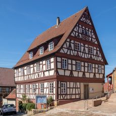
Evangelisches Gemeindehaus
518 m
Scala
2.6 km
Erlen-, Metten- und Gründelbachniederung (4 Teilgebiete)
2.3 km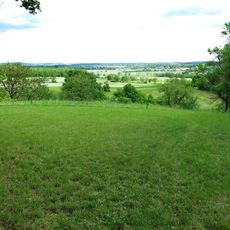
Bauschlotter Au
4 km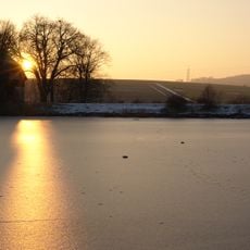
Aalkistensee
5 km
Erlen-, Metten- und Gründelbachniederung
2.3 km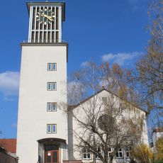
Pauluskirche
2.8 km
Cast-iron eyecatcher
4.3 km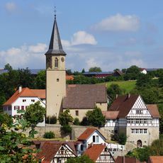
Petrikirche
2.8 km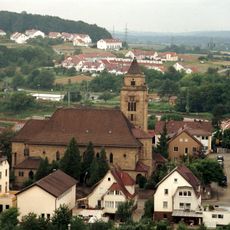
Herz-Jesu-Kirche
2.5 km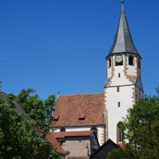
Peterskirche
4.1 km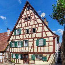
Kirchgasse 5
508 m
Gefallenendenkmal
357 m
Klebwald und Felshang bei der Ruine Löffelstelz
3.4 kmVisited this place? Tap the stars to rate it and share your experience / photos with the community! Try now! You can cancel it anytime.
Discover hidden gems everywhere you go!
From secret cafés to breathtaking viewpoints, skip the crowded tourist spots and find places that match your style. Our app makes it easy with voice search, smart filtering, route optimization, and insider tips from travelers worldwide. Download now for the complete mobile experience.

A unique approach to discovering new places❞
— Le Figaro
All the places worth exploring❞
— France Info
A tailor-made excursion in just a few clicks❞
— 20 Minutes