
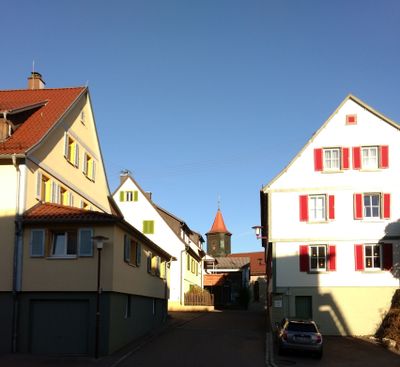
Fichtenberg, municipality in Germany
Location: Landkreis Schwäbisch Hall
Location: Limpurger Land GVV
Elevation above the sea: 345 m
Website: http://fichtenberg.de
GPS coordinates: 48.98722,9.71222
Latest update: April 10, 2025 18:33
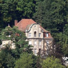
Villa Franck
9.7 km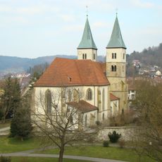
Stadtkirche Murrhardt
9.8 km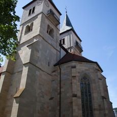
Kloster Murrhardt
9.8 km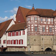
Altes Schloss
4.5 km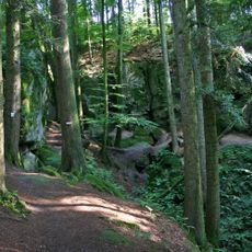
Hägeles- und Brunnenklinge
8 km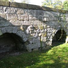
Castra of Murrhardt
9.6 km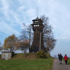
Hagberg Tower
5.3 km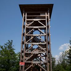
Riesberg Tower
9.5 km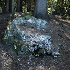
Flinsberg (Mainhardter Wald)
6.8 km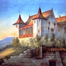
Schloss Tullau
9 km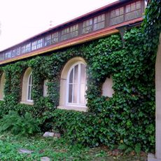
Carl-Schweizer-Museum
9.8 km
Hagberg
5.3 km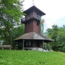
Kerner Tower
3.4 km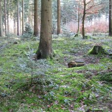
Kleinkastell Ebnisee
9.6 km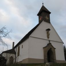
Saint Andrew Church
9.2 km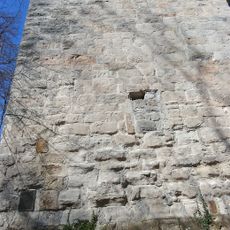
Burg Rötenberg
2.4 km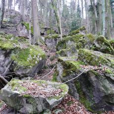
Felsenmeer (Murrhardt)
9 km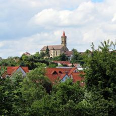
St. Martin
7.8 km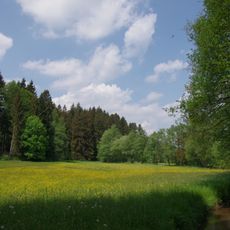
Wiesentäler bei der Menzlesmühle
7.3 km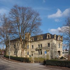
Neues Schloss (Gaildorf)
4.7 km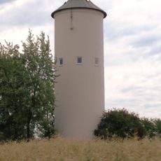
Wasserturm Nardenheim
8.6 km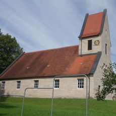
Evangelische Kirche
9.1 km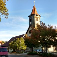
Kilianskirche
197 m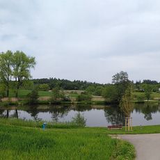
Gschwend Naturbadesee
6.2 km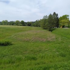
Feuchtwiese beim Gschwender Badsee
6.4 km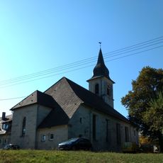
Evangelische Kirche Kirchenkirnberg
4.6 km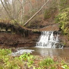
Wasserfall des Eisbach
8.7 km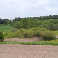
Feuchtflächen beim Gschwender Badsee
6 kmVisited this place? Tap the stars to rate it and share your experience / photos with the community! Try now! You can cancel it anytime.
Discover hidden gems everywhere you go!
From secret cafés to breathtaking viewpoints, skip the crowded tourist spots and find places that match your style. Our app makes it easy with voice search, smart filtering, route optimization, and insider tips from travelers worldwide. Download now for the complete mobile experience.

A unique approach to discovering new places❞
— Le Figaro
All the places worth exploring❞
— France Info
A tailor-made excursion in just a few clicks❞
— 20 Minutes