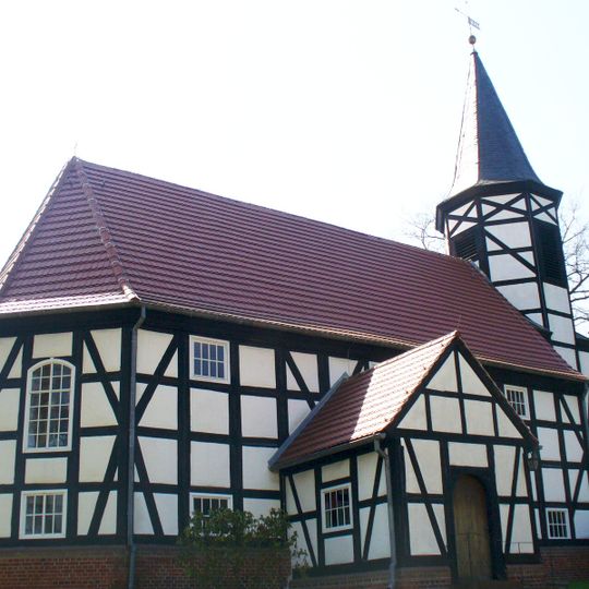
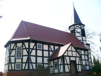
Spreetal, municipality of Germany
Location: Bautzen District
Elevation above the sea: 158 m
Part of: Sorbian settlement area
Shares border with: Elsterheide, Lohsa, Hoyerswerda
Website: http://spreetal.de
GPS coordinates: 51.51667,14.36667
Latest update: March 8, 2025 17:12
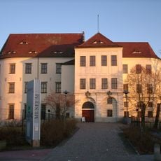
Schloss Hoyerswerda
12 km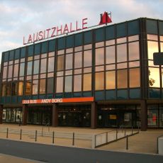
Lausitzhalle Hoyerswerda
11.4 km
ZCOM
11.7 km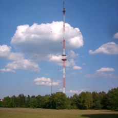
Sender Hoyerswerda/Zeißig
12.1 km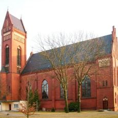
Pfarrkirche zur Heiligen Familie (Hoyerswerda)
12.8 km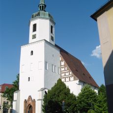
Johanneskirche
12.3 km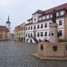
Altes Rathaus
12.1 km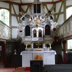
Kirche Spreewitz
2.4 km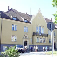
Neues Rathaus (Hoyerswerda)
12.5 km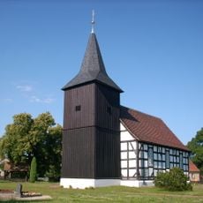
Kirche Bluno
9.6 km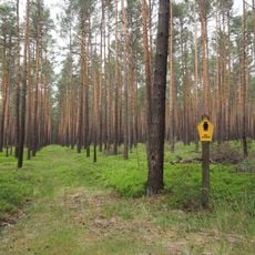
Schleife
8.2 km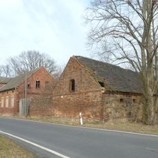
Zollhaus Proschim
11.4 km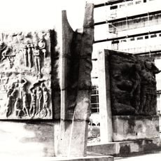
Ernst-Thälmann-Denkmal
2.2 km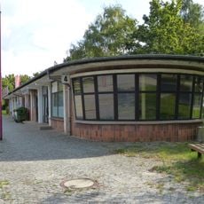
Buswartehalle Schwarze Pumpe
2 km
Innenkippe Nochten
9.2 km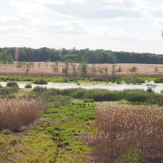
Spannteich Knappenrode
11.8 km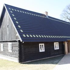
Dorfstr.61
10 km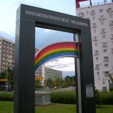
Offene Tür – offenes Tor
11.7 km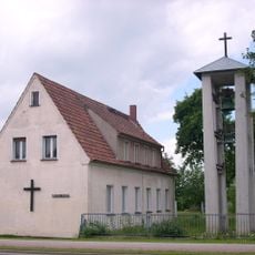
Community Center Schwarze Pumpe
2.5 km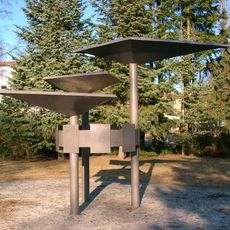
Sorbenbrunnen
11 km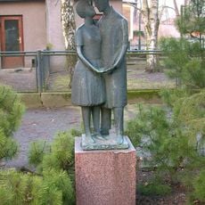
Liebespaar unterm Schirm
12.1 km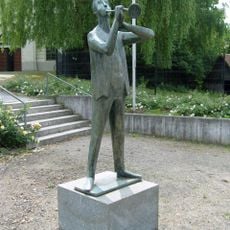
Trompeter
12 km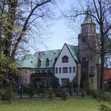
Schloss Bärwalde
16 km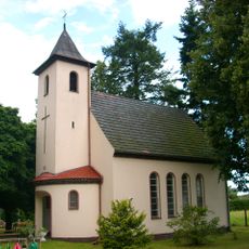
Friedhofskapelle Weißkollm
10.9 km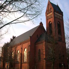
Katholische Heilige Familie (Hoyerswerda) Karl-Liebknecht-Straße 18
12.8 km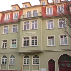
Mietshaus in geschlossener Bebauung Gerhart-Hauptmann-Straße 3 (Bahnhofsvorstadt)
12.9 km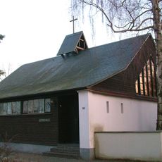
Lutherhaus; Kirchgemeindehaus, sogenannte Notkirche Kirchplatz 3 (Altstadt)
12.3 km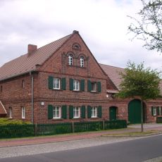
Bauernhaus, zwei Seitengebäude und Scheune und eines Vierseithofes Am Anger 2 (Bergen)
11 kmReviews
Visited this place? Tap the stars to rate it and share your experience / photos with the community! Try now! You can cancel it anytime.
Discover hidden gems everywhere you go!
From secret cafés to breathtaking viewpoints, skip the crowded tourist spots and find places that match your style. Our app makes it easy with voice search, smart filtering, route optimization, and insider tips from travelers worldwide. Download now for the complete mobile experience.

A unique approach to discovering new places❞
— Le Figaro
All the places worth exploring❞
— France Info
A tailor-made excursion in just a few clicks❞
— 20 Minutes
