Kirchlengern, municipality of Germany
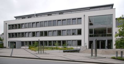
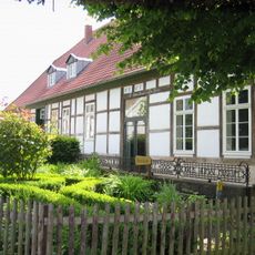
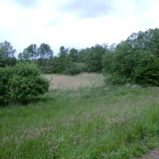
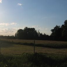
Kirchlengern is a small municipality in North Rhine-Westphalia with flat land marked by fields and small hills. It spreads across seven different districts, each with its own village-like character and modest neighborhoods.
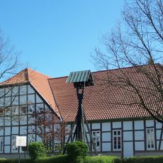
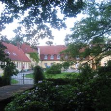
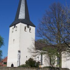
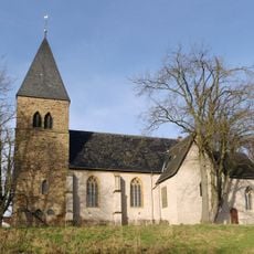
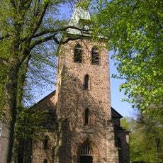
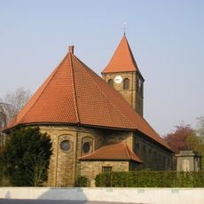
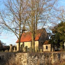
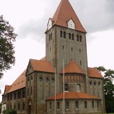
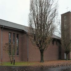
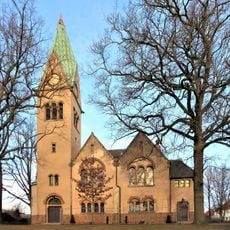
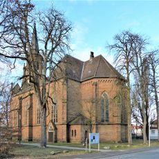
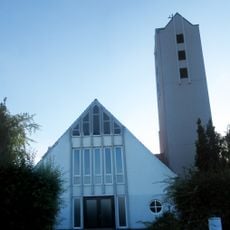
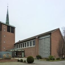
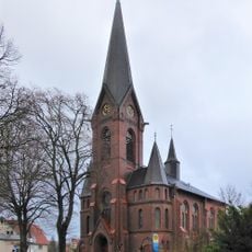
The place has roots as a farming community and maintains this traditional character today. The Church of St. Mary, an old stone building connected to a Lutheran monastery, has shaped the area for a long time.
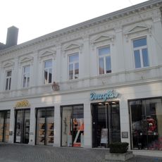
This is a farming community where neighbors know one another and generations of families have lived for years. Regular gatherings at festivals and markets show a culture of sharing homemade goods and local crafts.
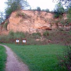
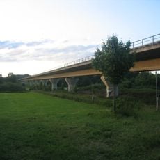
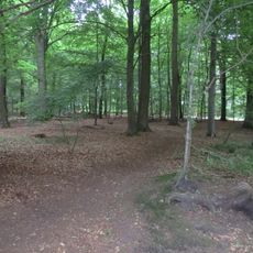
The area is flat with good road connections to nearby towns and surrounded by fields, making walking and cycling easy. Visitors should expect a slow-paced experience, as there are no large shopping centers or mass tourism here.
The town has produced notable people including singer Gunter Gabriel, with athletes and politicians from here contributing to wider cultural life. This shows that this small farming community has had a broader impact despite its modest size.
The community of curious travelers
AroundUs brings together thousands of curated places, local tips, and hidden gems, enriched daily by 60,000 contributors worldwide.