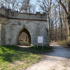
Heidetrank Oppidum, Celtic fortified settlement in Oberursel, Germany.
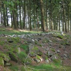
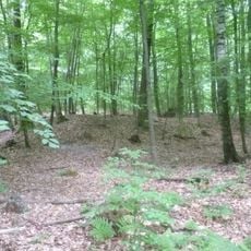
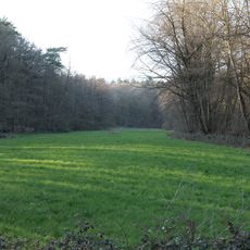
Heidetrank Oppidum is a Celtic fortified settlement near Oberursel that spreads across a large area enclosed by substantial earthen ramparts. The site has multiple entrances through its defensive structures and displays the typical layout of an important settlement from this period.
The settlement developed during the Iron Age and grew into a major trading center during the late La Tène period. It was abandoned in the first century BC, likely due to political changes and the Roman expansion into the region.
The settlement reveals traces of a well-organized community that practiced crafts and trade within its boundaries. Excavated artifacts suggest how people lived here and the role this place played as a regional economic hub.
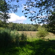
The site is accessible via marked hiking trails in the Taunus region and sits on elevated terrain with views of the surrounding landscape. The grounds can be explored on foot, though sturdy footwear and adequate time are recommended for the walk.
This location hosted its own Celtic mint operation where Nauheim Quinarius coins circulated as local currency. The production of these coins reveals the economic independence and prosperity of the community.
The community of curious travelers
AroundUs brings together thousands of curated places, local tips, and hidden gems, enriched daily by 60,000 contributors worldwide.