Enable Location

We need your location to show you interesting places around you

Discover nearby places

Find interesting locations and hidden gems around you

Precise directions

Get accurate directions and distances to places

Your location is never shared with other users. It's only used when you tap the location button.

Neukölln

Log in to your account

Start exploring — it's free

Trusted by 63,087 travelers worldwide

Continue with Google
Continue with Apple
or

We will send you a code to connect

By continuing, you accept our Terms and Conditions and our Privacy Policy

Check your inbox

We've sent a pincode in your inbox. Please enter the code below.

Neukölln
Discussion Reviews 5 Photos
94k Popularity

Neukölln, Residential district in Berlin, Germany

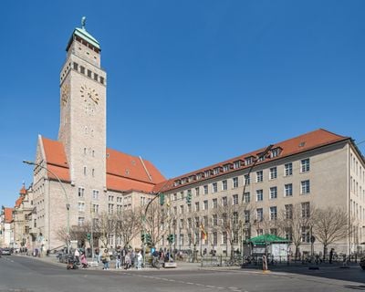
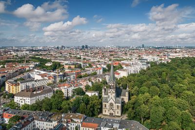
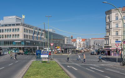
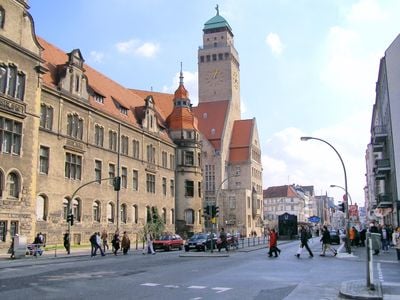
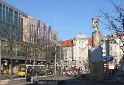
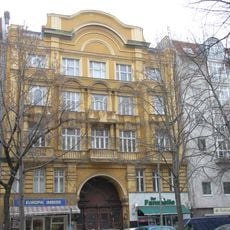
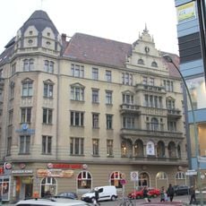
Neukölln is a residential district in southern Berlin, shaped by old apartment quarters and postwar high-rise estates. The main axes Sonnenallee and Karl-Marx-Straße cut through the area with shops, cafés and smaller squares.

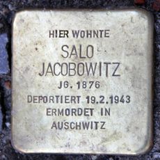
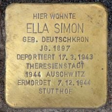
The area began in the 14th century as a rural settlement of the Knights Hospitaller. With industrialization in the 19th century it turned into a working-class quarter and was incorporated into Berlin in 1920.

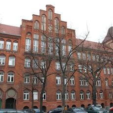
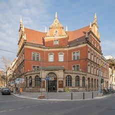
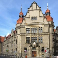
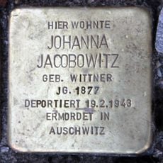
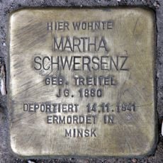
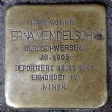
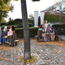
The district took its current name in 1912, replacing the older Rixdorf. Today the narrow streets around Richardplatz show rows of old apartment blocks, Turkish grocery shops and Arabic bakeries.

Several U-Bahn lines and an S-Bahn connection run through the district and link it to the rest of the city. Most residential areas can be explored easily on foot or by bicycle.

Körnerstraße runs straight for over 2 miles (3 kilometers) through the entire district. Its course follows an old post road that guided travelers south as early as the 18th century.

The community of curious travelers

AroundUs brings together thousands of curated places, local tips, and hidden gems, enriched daily by 60,000 contributors worldwide.

Start exploring
Location
Elevation above the sea
55 m
Shares border with
Kreuzberg, Alt-Treptow, Britz, Tempelhof, Plänterwald, Baumschulenweg
GPS coordinates
52.48139,13.43528
Latest update
December 13, 2025 15:29
Reviews
Share your experience

No review yet

Discussions
Start a discussion...

No discussion yet

« Neukölln - Residential district in Berlin, Germany » is provided by Around Us (aroundus.com). Images and texts are derived from Wikimedia project under a Creative Commons license. You are allowed to copy, distribute, and modify copies of this page, under the conditions set by the license, as long as this note is clearly visible.

Discover hidden gems everywhere you go!

From secret cafés to breathtaking viewpoints, skip the crowded tourist spots and find places that match your style. Our app makes it easy with voice search, smart filtering, route optimization, and insider tips from travelers worldwide. Download now for the complete mobile experience.

Around Us App Screenshot

A unique approach to discovering new places

Le Figaro

All the places worth exploring

France Info

A tailor-made excursion in just a few clicks

20 Minutes

Around Us
Travel Guide & Maps
Download

Send to your phone

QR Code
1

Open the camera app on your mobile.

2

Point at the QR code with your camera. A notification will appear.

3

Tap the notification to open the link.