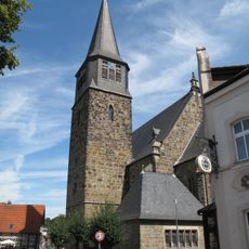
Reken, municipality in the district of Borken, in North Rhine-Westphalia, Germany
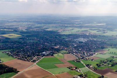
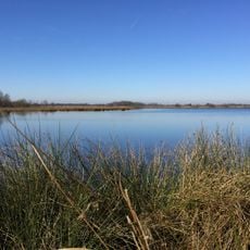
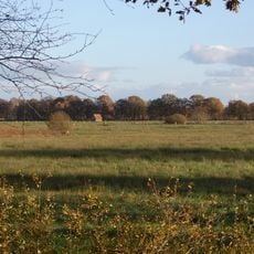
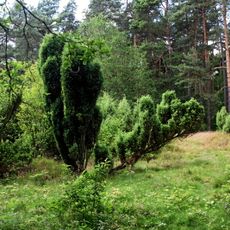
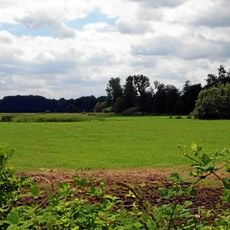
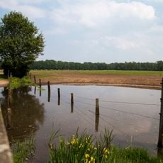
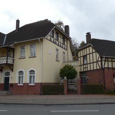
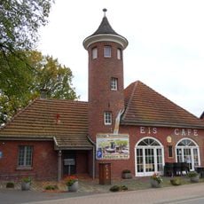
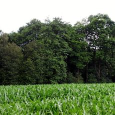
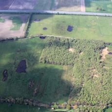
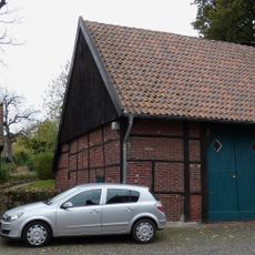
Reken is a municipality in Borken district in North Rhine-Westphalia and sits within the flat farmland of Munsterland. The area is characterized by open fields, scattered villages, and dispersed housing that spreads across several settlements.
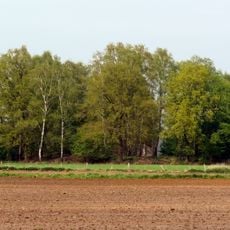
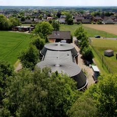
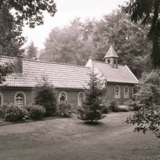
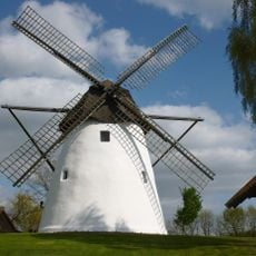
Reken developed as a rural settlement in Munsterland and remained an agricultural region for centuries. The community retained its farming character into modern times and was later combined with other villages to form its current administrative structure.
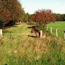
Reken is best reached by car, as public transportation is limited in the area. Visitors should allow time to explore the different settlements and make use of the open countryside for walks or cycling trips.
The community of curious travelers
AroundUs brings together thousands of curated places, local tips, and hidden gems, enriched daily by 60,000 contributors worldwide.