Hille, municipality in Minden-Lübbecke District, in North Rhine-Westphalia, Germany
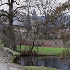
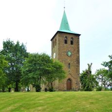
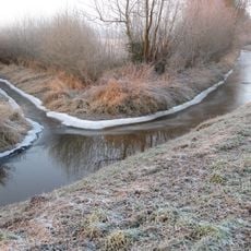
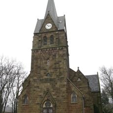
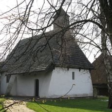
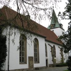
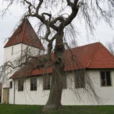
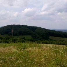
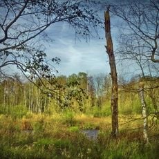
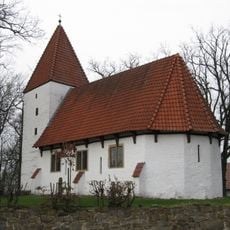
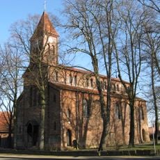
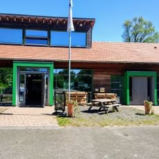
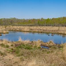
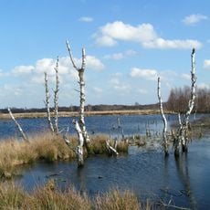
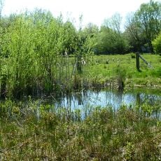
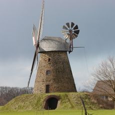
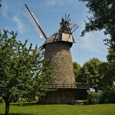
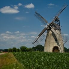
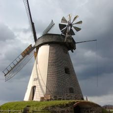
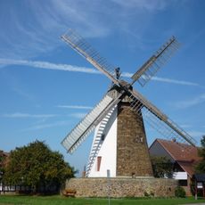
Hille is a small town in Minden-Lübbecke district in North Rhine-Westphalia, comprising nine villages that merged in the 1970s. The flat landscape is shaped by fields, forests, and peatbogs, while historic windmills and the 16th-century village church define the town's character.
Hille was founded in 1248 and developed over centuries as an agricultural and craft community. The merger of several villages in the 1970s created the modern municipality, while the Reformation and later industrialization of nearby regions shaped economic development.
Hille takes its name from the main village and reflects the typical structure of a North German rural municipality. The windmills shape the landscape and recall the region's craft heritage, while the village church with its old linden tree serves as a social gathering point for the community.
The best time to visit is spring through fall when weather suits walking and cycling. Train stations in Minden and Lübbecke provide connections, while buses and roads link the villages and make navigation straightforward.
Some residents emigrated to Schenectady, New York in the 19th century, creating a lasting connection to American industry. Many seasonal workers also traveled to the Netherlands, showing how Hille was long integrated into European labor networks.
The community of curious travelers
AroundUs brings together thousands of curated places, local tips, and hidden gems, enriched daily by 60,000 contributors worldwide.