Hadern, Residential borough in southwest Munich, Germany
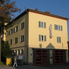
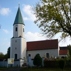
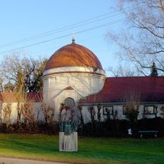
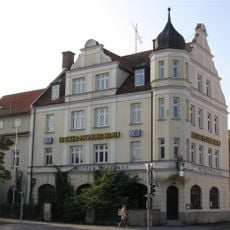
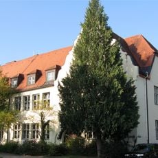
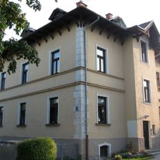
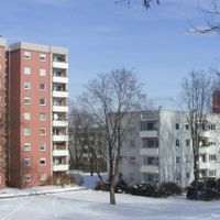
Hadern is a residential district in southwest Munich that combines homes with medical facilities throughout its area. The neighborhood contains more than 40 clinics within the University Hospital complex, alongside parks, streets of older buildings, and modern apartment blocks.
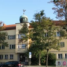
The area began as a farming village and later became part of Munich's urban expansion in the early 1900s. The arrival of medical and university facilities during the 20th century transformed it from a rural place into a center for healthcare and education.
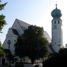
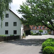
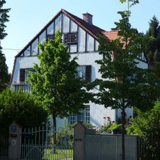
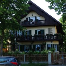
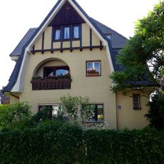
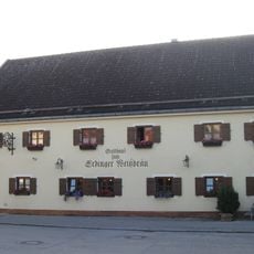
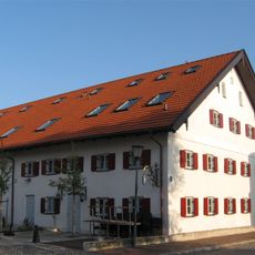
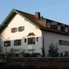
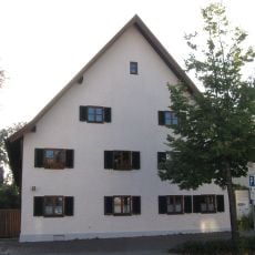
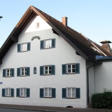
The neighborhood shows its connection to farming times through buildings that remain from that era, visible when walking through older streets. Modern educational and medical facilities now sit alongside these reminders of the past, creating a blend of old and new.
The U6 subway line and multiple bus routes provide direct connections from here to Munich's city center in roughly 20 minutes. These transport links make getting around the district and reaching other parts of the city straightforward for residents and visitors.
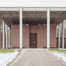
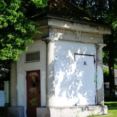
The Waldfriedhof, Munich's largest cemetery, sits in the same area as biology and chemistry facilities of Ludwig-Maximilians-University. This unusual pairing of a burial ground with research labs gives the neighborhood a distinctive character that catches many visitors by surprise.
The community of curious travelers
AroundUs brings together thousands of curated places, local tips, and hidden gems, enriched daily by 60,000 contributors worldwide.