
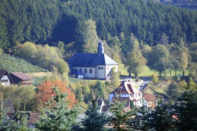
Aura im Sinngrund, municipality of Germany
Location: Main-Spessart
Elevation above the sea: 282 m
Part of: Verwaltungsgemeinschaft Burgsinn
Shares border with: Burgjoß, Burgsinn, Wartmannsroth
Website: http://sinngrundallianz.de/seite/au/main-spessart/08/WB/startseite.html
GPS coordinates: 50.16667,9.56667
Latest update: March 4, 2025 21:49
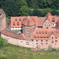
Burg Rieneck
9.8 km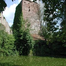
Alte Burg
6.4 km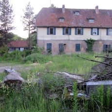
Wasserschloss Altengronau
9.6 km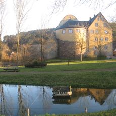
Schloss Burgjoß
7.4 km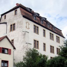
Huttenburg Altengronau
10.3 km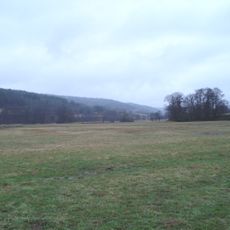
Naturschutzgebiet Sinnwiesen von Altengronau
8.6 km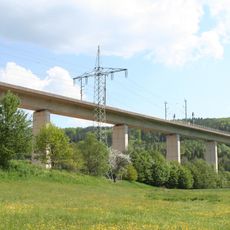
Sinntalbrücke Zeitlofs
12 km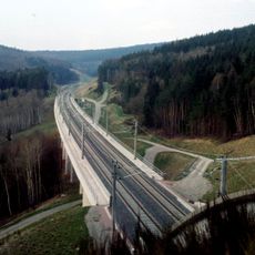
Hangbrücke Dittenbrunn
7.7 km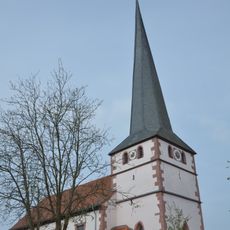
St. James (Mittelsinn)
4.6 km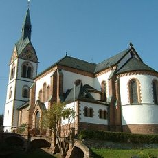
St. Martin
7.3 km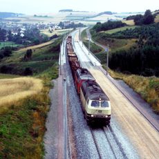
Talbrücke Mittelsinn
5.3 km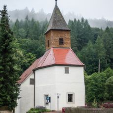
Kirche
12.5 km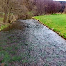
Sinngrund
7.1 km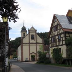
Mariä Geburt
5.6 km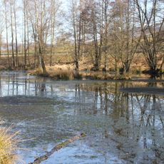
Sahlensee
7.9 km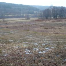
Struth von Altengronau
11.5 km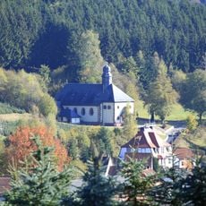
Kuratiekirche
1.6 km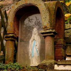
Prozessionsaltar
9.7 km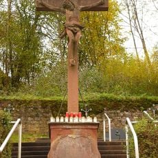
Friedhof
9.7 km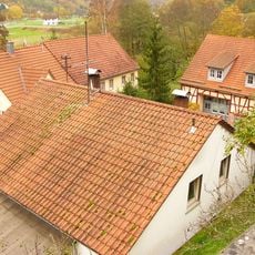
Mühle
10 km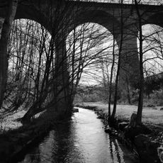
Viadukt
8.2 km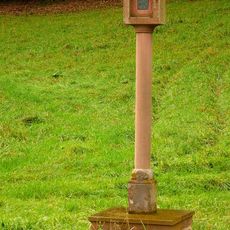
Bildstock
9.5 km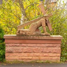
Kreuzschlepper
10 km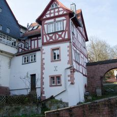
Wohnhaus
10 km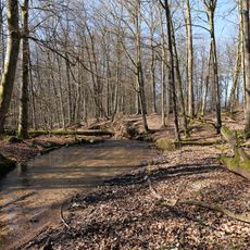
Biberlebensraum Hessischer Spessart (Jossa und Sinn)
10.6 km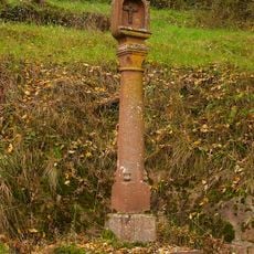
Bildstock
10.2 km
Sinngrund
5.5 km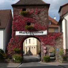
Torturm
6.4 kmVisited this place? Tap the stars to rate it and share your experience / photos with the community! Try now! You can cancel it anytime.
Discover hidden gems everywhere you go!
From secret cafés to breathtaking viewpoints, skip the crowded tourist spots and find places that match your style. Our app makes it easy with voice search, smart filtering, route optimization, and insider tips from travelers worldwide. Download now for the complete mobile experience.

A unique approach to discovering new places❞
— Le Figaro
All the places worth exploring❞
— France Info
A tailor-made excursion in just a few clicks❞
— 20 Minutes