
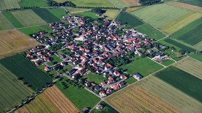
Forheim, municipality of Germany
Location: Donau-Ries
Elevation above the sea: 574 m
Part of: Verwaltungsgemeinschaft Ries
Website: https://forheim.de
GPS coordinates: 48.76667,10.45000
Latest update: March 12, 2025 01:30
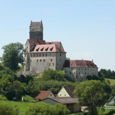
Katzenstein Castle
6.4 km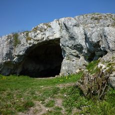
Ofnethöhlen
5.8 km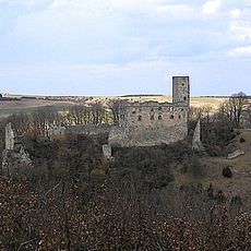
Burg Niederhaus
4.3 km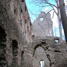
Burg Hochhaus
3.5 km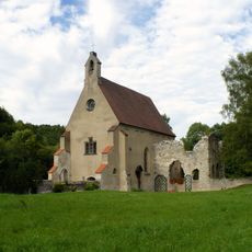
Christgarten Charterhouse
2 km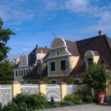
Schloss Hohenaltheim
6.7 km
Schloss Amerdingen
5.2 km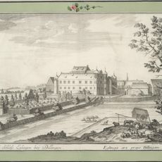
Schloss Eglingen
5.8 km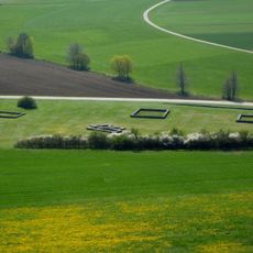
Villa rustica of Holheim
5.6 km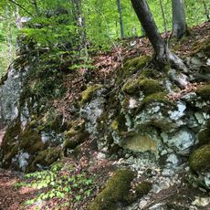
Burgstall Rauhaus
2.2 km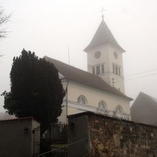
St. Martin (Aufhausen)
2.4 km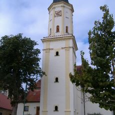
St. Vitus (Amerdingen)
5.2 km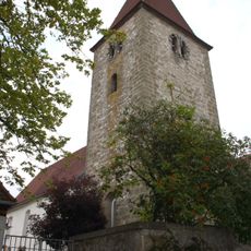
St. Margaretha
959 m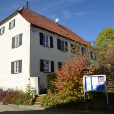
Pfarrhaus
6.5 km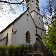
St. Johannes der Täufer (Hohenaltheim)
6.5 km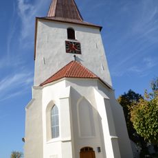
St. Maria
6.4 km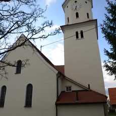
St. Oswald
4.6 km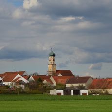
Katholische Pfarrkirche St. Ulrich
4.1 km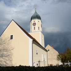
St. Veit
4.5 km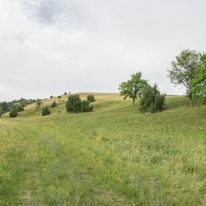
Schmähingen West
5.3 km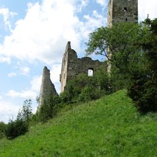
Karthäusertal
2.9 km
Schmähingen Nord
6.5 km
Riegelberg bei Holheim
6.1 km
Ofnethöhlen bei Holheim
5.8 km
Ofnethöhlen SW von Holheim
5.8 km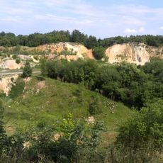
Steinbruch Lindle SE von Holheim
5.8 km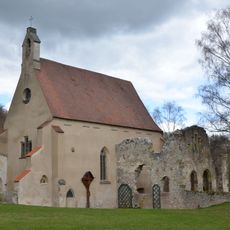
St. Peter
2 km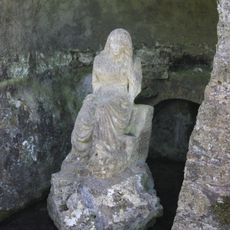
Landschaftspark „Der Ursprung“
6.7 kmVisited this place? Tap the stars to rate it and share your experience / photos with the community! Try now! You can cancel it anytime.
Discover hidden gems everywhere you go!
From secret cafés to breathtaking viewpoints, skip the crowded tourist spots and find places that match your style. Our app makes it easy with voice search, smart filtering, route optimization, and insider tips from travelers worldwide. Download now for the complete mobile experience.

A unique approach to discovering new places❞
— Le Figaro
All the places worth exploring❞
— France Info
A tailor-made excursion in just a few clicks❞
— 20 Minutes