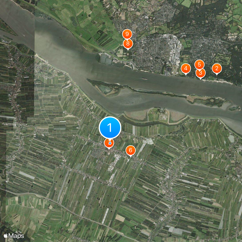
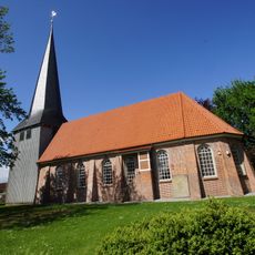
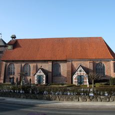
Jork, Non-urban municipality in Stade district, Germany.
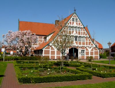
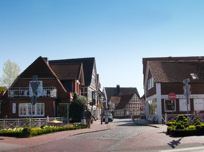
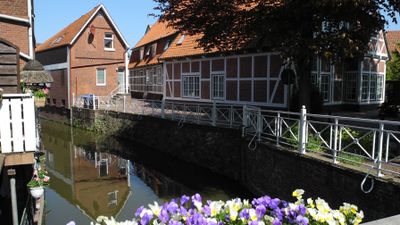
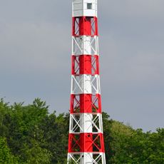
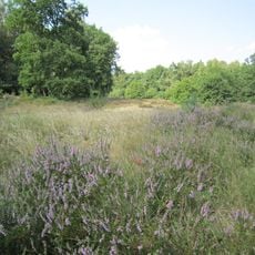
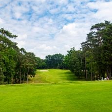
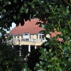
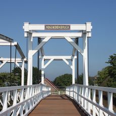
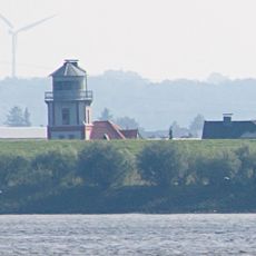
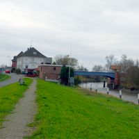
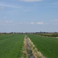
Jork is a municipality in Stade district, Lower Saxony, comprising several small villages spread across flat northern lowlands. The area is marked by agricultural use and rural character with wide fields and scattered settlements.
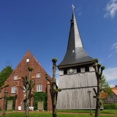
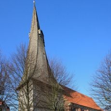
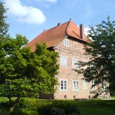
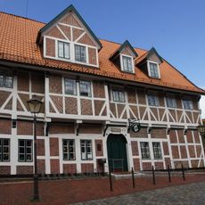
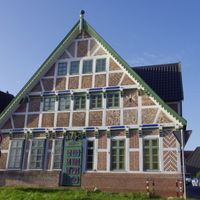
Settlement in the area dates back to medieval times, with agricultural structures shaping development from early on. The modern municipality of Jork emerged from administrative reforms and became an established local administrative center.
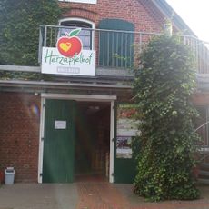
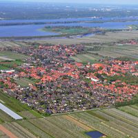
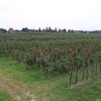
The region is known for fruit farming, especially apples and pears, which shape the local landscape and identity. These growing traditions have persisted for generations and remain a key part of daily life.
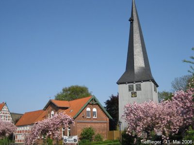
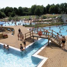
The area is accessible by car via local roads and offers basic facilities for visitors and residents. The best time to visit is during fruit harvest season when agricultural activities are most visible.
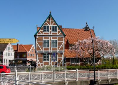
The area is part of the Altes Land, a historic fruit-growing region with special varieties cultivated for centuries. Many farms still offer direct sales of their harvest today, continuing an old trading tradition.
Location: Stade
Elevation above the sea: 3 m
Shares border with: Wedel, Grünendeich, Steinkirchen, Mittelnkirchen, Neuenkirchen, Buxtehude, Neu Wulmstorf, Lühe
Website: https://jork.de
GPS coordinates: 53.53444,9.68167
Latest update: December 6, 2025 21:20
Willkomm-Höft
4 km
Landhaus Michaelsen
6.5 km
Unterfeuer Wittenbergen
5.7 km
Oberfeuer Tinsdal
5.2 km
Wittenbergen
5.9 km
St. Matthias-Kirche
284 m
Theaterschiff Batavia
5.3 km
Borsteler Binnenelbe und Großes Brack
2.5 km
Category:St.-Martini-Kirche (Estebrügge)
4.1 km
St. Nicolai-Kirche
623 m
Lühesperrwerk
5.2 km
Schnitger organ in St. Bartholomäuskirche
4.4 km
Johanneskirche
7.4 km
St. Bartholomäus-Kirche
4.4 km
Schloss Esteburg
4.5 km
Hamburger Golfclub e. V. Falkenstein
7.2 km
Neßsand
3.9 km
Villa Ladiges
4.5 km
Lühe range front light
5.3 km
Somfletherwisch Unterfeuer
4.8 km
Bücherei Jork
208 m
Mielstack Unterfeuer
4.6 km
Rapfenschutzgebiet Hamburger Stromelbe
6.8 km
Neßsand
5 km
Somfletherwisch Oberfeuer
3.9 km
Museum Altes Land
641 m
Altona-Südwest, Ottensen, Othmarschen, Klein Flottbek, Nienstedten, Dockenhuden, Blankenese, Rissen
6.1 km
Mühlenberger Loch/Neßsand
5.7 kmVisited this place? Tap the stars to rate it and share your experience / photos with the community! Try now! You can cancel it anytime.
Discover hidden gems everywhere you go!
From secret cafés to breathtaking viewpoints, skip the crowded tourist spots and find places that match your style. Our app makes it easy with voice search, smart filtering, route optimization, and insider tips from travelers worldwide. Download now for the complete mobile experience.
A unique approach to discovering new places❞
— Le Figaro
All the places worth exploring❞
— France Info
A tailor-made excursion in just a few clicks❞
— 20 Minutes