Blankenhain, municipality of Germany
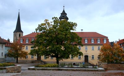
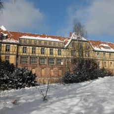
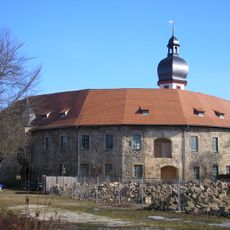
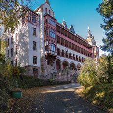
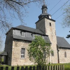
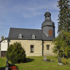
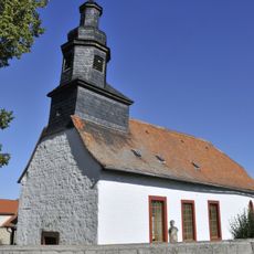
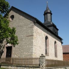
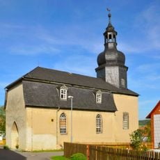
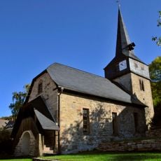
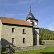
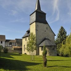
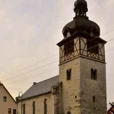
Blankenhain is a small town in Thuringia with narrow streets, historic buildings, and a castle at its center built on the site of an old fort. The castle displays Baroque features and was rebuilt after a 17th century fire, blending architectural styles from different periods.
Blankenhain was first recorded in 1252, though signs of settlement date to the 7th century and a circular fortress once protected trade routes through the area. The castle underwent major rebuilding after a 17th century fire and has remained the town's defining structure since then.
The town developed a strong identity through porcelain production starting in 1790, which remains visible in local pride and craftsmanship traditions today. This heritage shaped how people see themselves and the community's role in regional commerce.
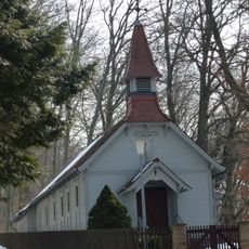
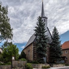
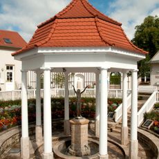
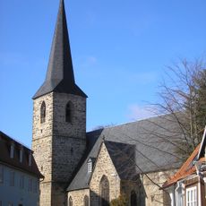
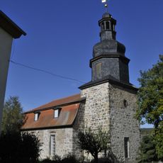
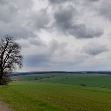
The main sites can be visited on foot in a short time, starting from the market square and moving to the castle, church, and pond. Good walking shoes and time for hiking help you enjoy the surrounding forests, meadows, and the nearby swimming park.
The castle is actively used for weddings, markets, and events, functioning as a living community hub rather than a silent monument to the past. Recently installed digital screens at key locations display current information about attractions and activities, blending the town's history with modern communication.
The community of curious travelers
AroundUs brings together thousands of curated places, local tips, and hidden gems, enriched daily by 60,000 contributors worldwide.