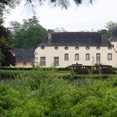
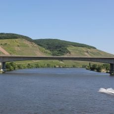
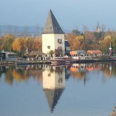
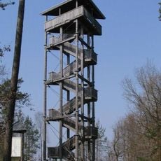
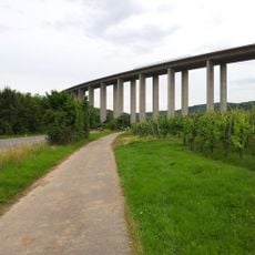
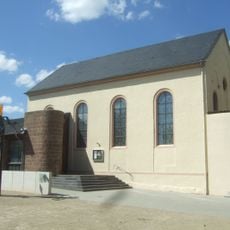
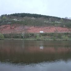
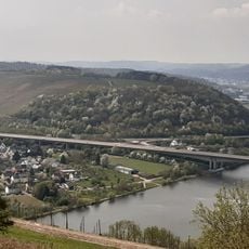
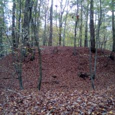
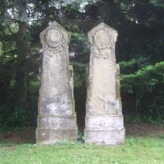
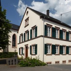
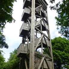
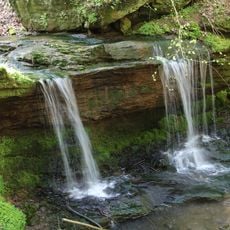
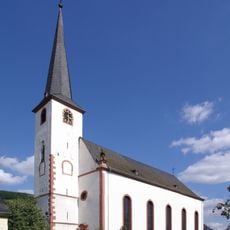
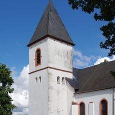
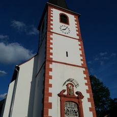
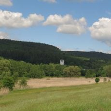
Föhren, municipality of Trier-Saarburg, Rhineland-Palatinate, Germany
Location: Trier-Saarburg
Elevation above the sea: 205 m
Website: http://www.gemeinde-foehren.de
Website: http://gemeinde-foehren.de
GPS coordinates: 49.85806,6.76694
Latest update: March 6, 2025 07:23
Quinter Schloss
5.7 km
Schloss Föhren
390 m
Moseltalbrücke
4.9 km
Burg Longuich
5.7 km
Schloss Bekond
2.9 km
Fährturm
4.8 km
Kellerberg
4.1 km
Fellerbachtalbrücke
7.1 km
Synagoge
4 km
Wasserburg Klüsserath
6.8 km
Kenner Flur
6.9 km
Niederprümer Hof
4.1 km
Kloster Föhren
389 m
Moselbrücke Schweich
5 km
Hangbrücke Schweich
5.2 km
Motte Orenhofen
8.4 km
Fährturm
5 km
Jüdischer Friedhof
3.6 km
Rothenberg
4.9 km
Hochkreuz (Föhren)
1.8 km
Pfarrhaus
5.9 km
Zemmer Observation Tower
6.6 km
Dierscheid Observation Tower
4.1 km
Meulenwald und Stadtwald Trier
3.9 km
Saint Lawrence Church
5.6 km
St. Martin
7.5 km
St. Margareta
7.2 km
Ried am Foehrenbach
988 mReviews
Visited this place? Tap the stars to rate it and share your experience / photos with the community! Try now! You can cancel it anytime.
Discover hidden gems everywhere you go!
From secret cafés to breathtaking viewpoints, skip the crowded tourist spots and find places that match your style. Our app makes it easy with voice search, smart filtering, route optimization, and insider tips from travelers worldwide. Download now for the complete mobile experience.
A unique approach to discovering new places❞
— Le Figaro
All the places worth exploring❞
— France Info
A tailor-made excursion in just a few clicks❞
— 20 Minutes