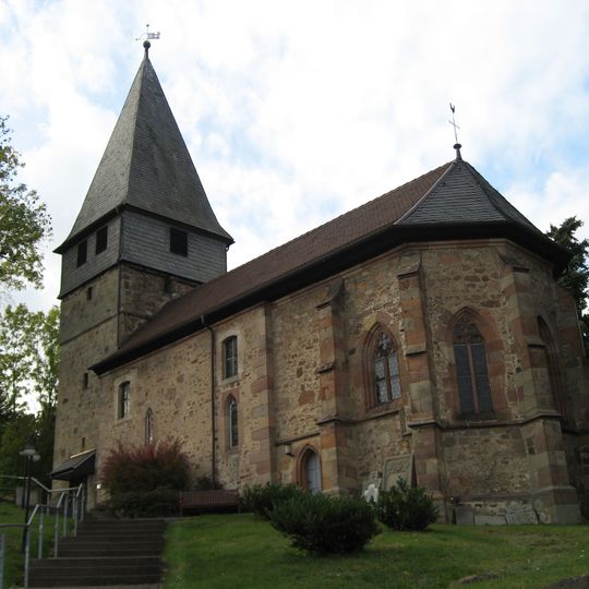
Knüllwald, municipality in Schwalm-Eder-Kreis in Hesse, Germany
The community of curious travelers
AroundUs brings together thousands of curated places, local tips, and hidden gems, enriched daily by 60,000 contributors worldwide.
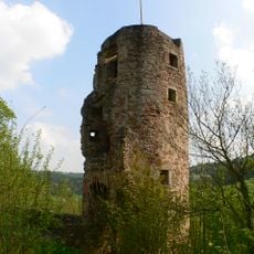
Wallenstein Castle
3.7 km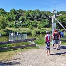
Fuldaseilbahn Beiseförth
11.2 km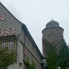
Burg Neuenstein
8.6 km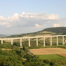
Fuldatalbrücke Morschen
11.9 km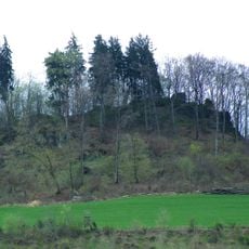
Burg Wallenstein
3.7 km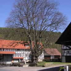
Dorflinde in Aua
9.7 km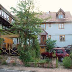
Lebendiges Bienenmuseum Knüllwald
7.2 km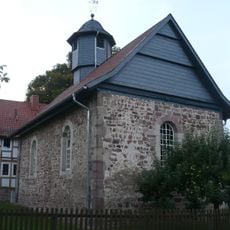
Evangelische Kirche Aua
9.7 km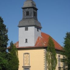
Evangelische Kirche
4.4 km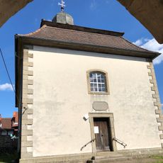
Evangelische Kirche Oberbeisheim
5.9 km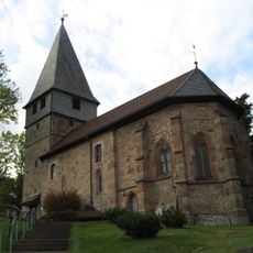
Christuskirche
2.5 km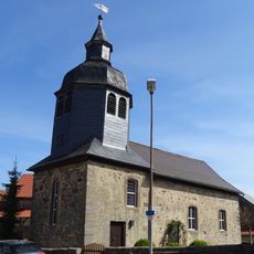
Evangelische Kirche
5.3 km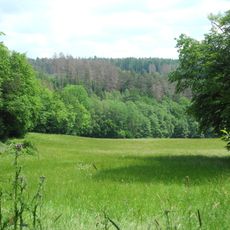
Roßbachtal bei Völkershain
1.3 km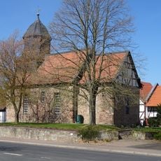
Evangelische Kirche Sippershausen
9 km
Evangelische Kirche Völkershain
1.4 km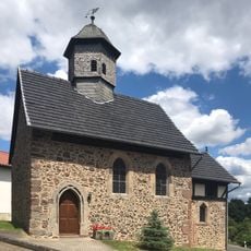
Evangelische Kirche Schellbach
2.4 km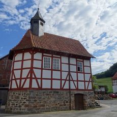
Evangelische Kirche Reddingshausen
1.1 km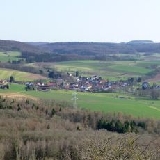
Oberes Rinnetal
3.6 km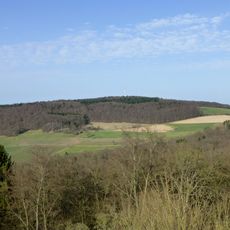
Allmutsberg
3 km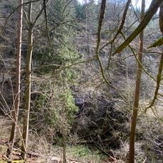
Eichelskopf
4.9 km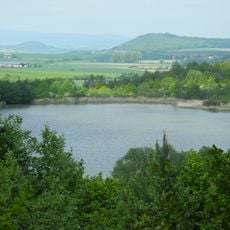
Naturschutzgebiet Goldbergsee
9.7 km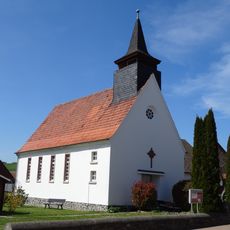
Evangelische Kirche Mörshausen
7.2 km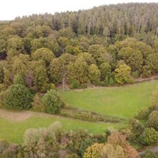
Waltersberg
5.2 km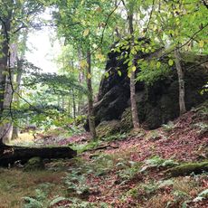
Säulenbasaltklippen Wichtelrain
4 km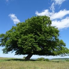
Linde von Mörshausen
7.6 km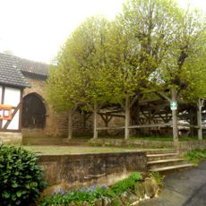
2 Linden in Berndshausen
6.7 km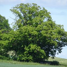
Linde von Dickershausen
8.7 km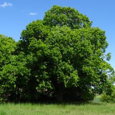
Linde von Welferode
5.6 kmDiscover hidden gems everywhere you go!
From secret cafés to breathtaking viewpoints, skip the crowded tourist spots and find places that match your style. Our app makes it easy with voice search, smart filtering, route optimization, and insider tips from travelers worldwide. Download now for the complete mobile experience.

A unique approach to discovering new places❞
— Le Figaro
All the places worth exploring❞
— France Info
A tailor-made excursion in just a few clicks❞
— 20 Minutes
