Schwalm-Eder-Kreis

Log in to your account

AroundUs is a community-driven map of interesting places, built by curious explorers like you. It grows with every review, story, and photo you share.
Connect to save your favorite spots, contribute locations, and create personalized routes.
Continue with Google
Continue with Apple
Continue with X
Continue with Facebook
Continue with email
By continuing, you accept our Terms and Conditions and our Privacy Policy
Create an account
Add to collection
Map
Suggest a change
Share

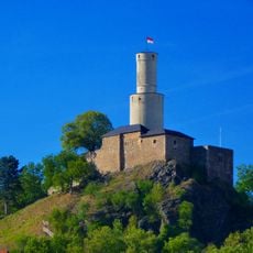
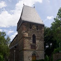
Schwalm-Eder-Kreis, Administrative district in northern Hesse, Germany.

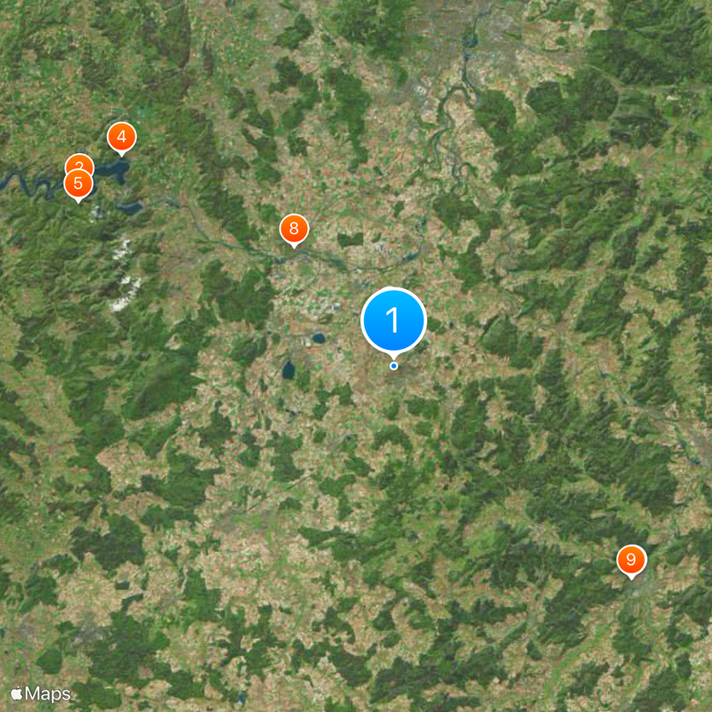
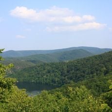
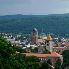
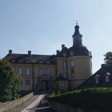
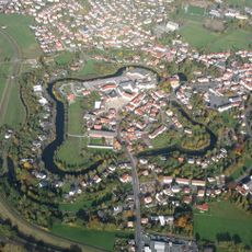
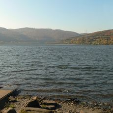
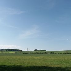
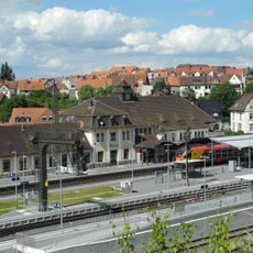
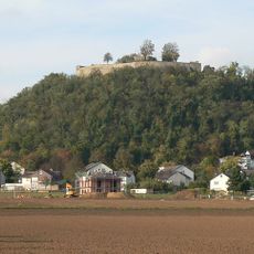
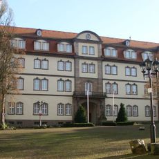
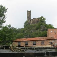
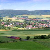
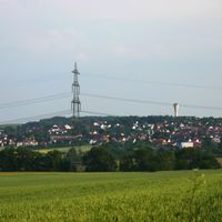
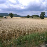
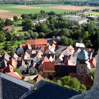
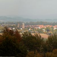
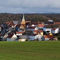
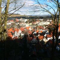
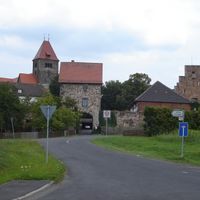
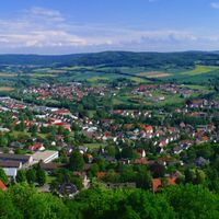
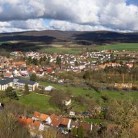
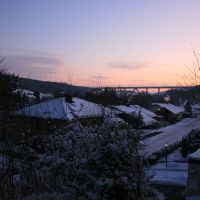
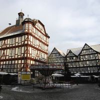
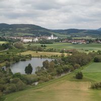
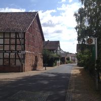
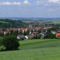
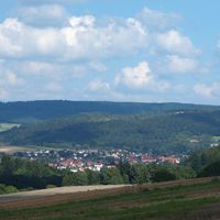
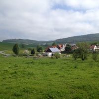
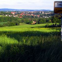
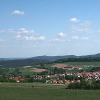
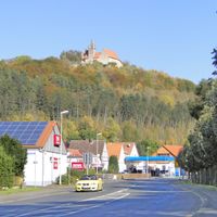
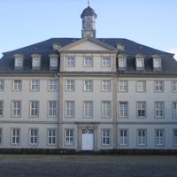
Schwalm-Eder-Kreis is a rural district in northern Hesse that spreads across rolling hills, forests and farmland between Kassel and the Vogelsberg mountains. The administrative seat sits in Homberg, overseeing 27 municipalities that range from small villages to compact market towns.

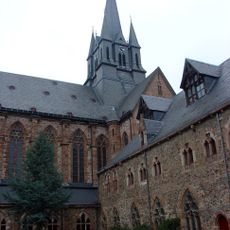
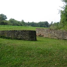
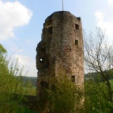
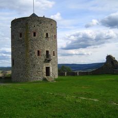
The district was formed in 1974 when several smaller administrative units merged during a territorial reform across Hesse. Before that, the area belonged to different historical territories including the Electorate of Hesse and smaller counties.

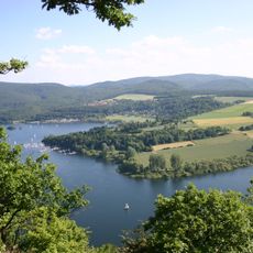
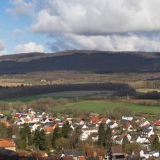
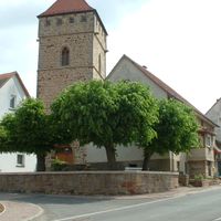
The region takes its name from the Schwalm river that shapes the landscape and daily routines of villages along its course. Many communities still celebrate harvest festivals and market days that bring together farmers and craftspeople from across the countryside.

Vehicle license plates in the area carry codes HR, FZ, MEG or ZIG depending on which part of the territory the owner registered in. Most public offices and services can be found in Homberg, which sits near the middle of the district.

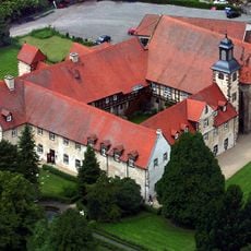
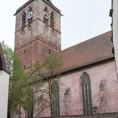
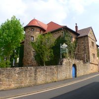
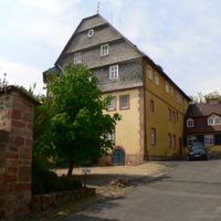
Willingshausen has been home to working painters since the 19th century, many of whom capture scenes from the surrounding countryside in their studios. Several galleries and workshops in the village remain open to visitors who want to see how local artists work today.

Location: Kassel Government Region

Inception: 1974

Capital city: Homberg (Efze)

Elevation above the sea: 181 m

Shares border with: Landkreis Kassel, Werra-Meißner-Kreis, Hersfeld-Rotenburg, Vogelsbergkreis, Marburg-Biedenkopf, Waldeck-Frankenberg

Website: https://schwalm-eder-kreis.de

GPS coordinates: 51.03500,9.40083

Latest update: December 14, 2025 17:23

Photos
Reviews

Visited this place? Tap the stars to rate it and share your experience / photos with the community! Try now! You can cancel it anytime.

« Schwalm-Eder-Kreis - Administrative district in northern Hesse, Germany » is provided by Around Us (aroundus.com). Images and texts are derived from Wikimedia project under a Creative Commons license. You are allowed to copy, distribute, and modify copies of this page, under the conditions set by the license, as long as this note is clearly visible.

Discover hidden gems everywhere you go!

From secret cafés to breathtaking viewpoints, skip the crowded tourist spots and find places that match your style. Our app makes it easy with voice search, smart filtering, route optimization, and insider tips from travelers worldwide. Download now for the complete mobile experience.

Around Us App Screenshot

A unique approach to discovering new places

Le Figaro

All the places worth exploring

France Info

A tailor-made excursion in just a few clicks

20 Minutes