Wüstegarten, Mountain peak in Kellerwald range, Hesse, Germany
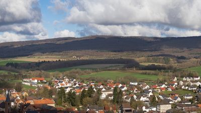
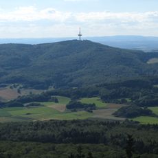
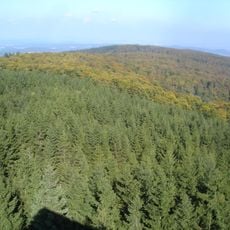
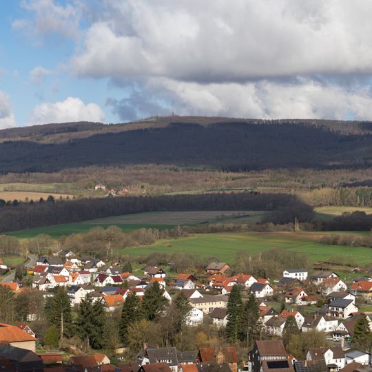
Wüstegarten is a mountain in the Kellerwald range in northern Hesse at 675 meters elevation and represents the highest point in the Kellerwald-Edersee National Park. The summit sits within an expansive forested area crossed by several marked hiking routes that provide access to sweeping views across the region.
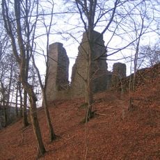
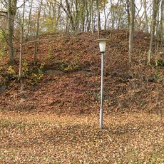
On the summit plateau lie the remains of a ring wall, the Heidelburg, an oval of 200 by 140 metres whose surviving rampart is up to 7 metres wide. It most likely dates from the 9th century, linked to the Conradines' conflicts with the Saxon dukes; a panel on the mountain instead assigns it to the Iron Age. The wall was archaeologically examined in 1963, and no evidence of wooden structures or settlement was found. The mountain is first recorded in 1475 as "der wuste garten".
The name Wüstegarten, first recorded in 1475 as "der wuste garten", means "deserted garden" and refers to the abandoned field on the summit. The oval ring wall there, called Heidelburg, measures 200 by 140 metres and is up to 7 metres wide; in the 16th and 17th centuries it was also recorded as Heulburgk and Hulnburgk.
The mountain is accessible via several marked trails starting from different points, including a parking area near the Kellerwald Visitor Center. The climb is moderately challenging and takes roughly two to three hours depending on your chosen route.
The slopes support rare plant species adapted to the specific geological conditions of the Kellerwald range. This specialized flora contributes to the location's particular ecological value.
The community of curious travelers
AroundUs brings together thousands of curated places, local tips, and hidden gems, enriched daily by 93,817 contributors worldwide.