Hohes Lohr, Mountain summit in Waldeck-Frankenberg, Germany
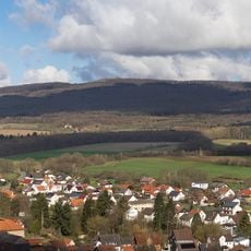
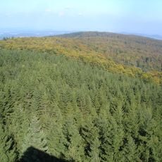
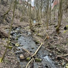
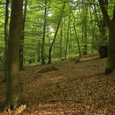
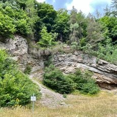
Hohes Lohr is a mountain summit in Waldeck-Frankenberg that rises to about 657 meters above sea level. The slopes are covered with dense forest and display natural rock outcrops at various points.
The bedrock belongs to the Rheinisches Schiefergebirge and is composed of sedimentary rocks that formed millions of years ago. The geological layers record a long history of Earth's development in this region.
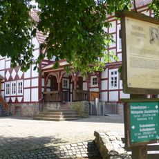
The Kellerwaldsteig, a 156 km trail through the Naturpark Kellerwald-Edersee, runs along the northern slope of Hohes Lohr. The Studentenpfad, a 252 km route from Göttingen via Kassel to Gießen, also crosses the mountain, and between Haina and Dodenhausen it coincides with the Tischbein Wanderweg. Spur paths lead from these routes up to the summit.
The summit can be reached by established hiking trails that start from parking areas at the mountain's base. The paths are well marked and allow visitors to choose between different difficulty levels.
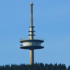
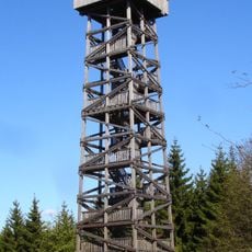
The 142-metre Fernmeldeturm Hohes Lohr, a Deutsche Funkturm transmission tower, stands on the summit; it is not an observation tower and is not open to visitors. It broadcast analogue television until DVB-T arrived in northern Hesse, and it carries the private station Hit Radio FFH on FM. From late October 2025, HR programmes have also been broadcast from here via DAB+.
The community of curious travelers
AroundUs brings together thousands of curated places, local tips, and hidden gems, enriched daily by 93,855 contributors worldwide.