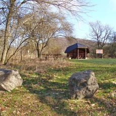
Hunsrück, Mountain summit in Hesse, Germany
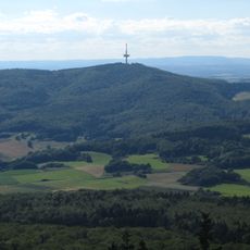
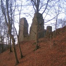
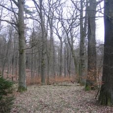
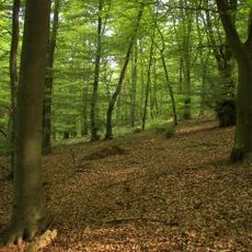
Hunsrück is a mountain peak in Hesse reaching approximately 636 meters and covered by dense forests of beech and pine trees. The slopes and surrounding valleys display varied vegetation that shapes the landscape.
The Hunsrück is a 635.9 m high northern spur of the Wüstegarten in the Kellerwald, on the border between Bad Zwesten and Jesberg. Together with the Wüstegarten and the Sauklippe it forms the Keller ridge. It lies within the Kellerwald bird protection area and the Hoher Keller FFH area.
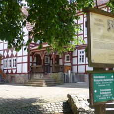
The Hunsrück lies on the boundary between the municipalities of Bad Zwesten and Jesberg, and the nearby villages of Fischbach, Haddenberg and Bergfreiheit belong to Haina and Bad Wildungen. The 156 km Kellerwaldsteig long-distance trail crosses the summit, while the Studentenpfad and Lulluspfad pass close by.
The Kellerwaldsteig, a 156 km long-distance trail through the Naturpark Kellerwald-Edersee, crosses the Hunsrück. The Studentenpfad (252 km, Göttingen–Kassel–Gießen) and the Lulluspfad (184 km, Edersee–Rennsteig) pass close to the mountain rather than over it. The summit lies on the boundary between Bad Zwesten and Jesberg, about 1.6 km northeast of the Wüstegarten.
The Hunsrück is the highest point within the municipality of Bad Zwesten, whose boundary runs over the summit; the neighbouring Wüstegarten (675.3 m) lies about 1.6 km to the southwest. Together with the Sauklippe (584.4 m) the three form the ridge known as the Hohe Keller.
The community of curious travelers
AroundUs brings together thousands of curated places, local tips, and hidden gems, enriched daily by 93,582 contributors worldwide.