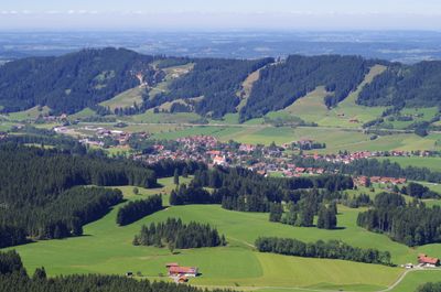
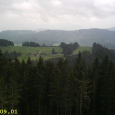
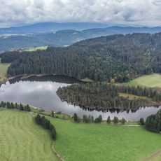
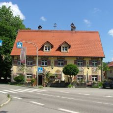
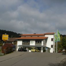
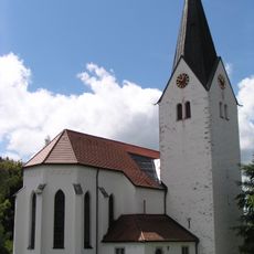
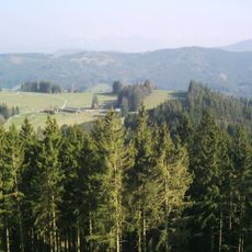
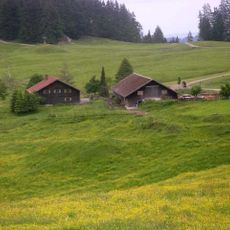
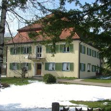
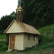
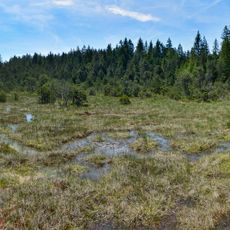
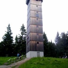
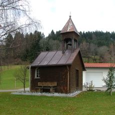
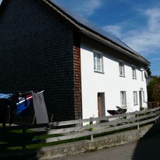
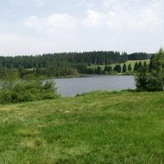
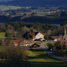
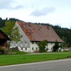
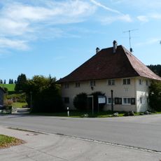
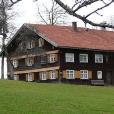
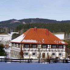
Weitnau, market municipality of Germany
Location: Oberallgäu
Elevation above the sea: 797 m
Part of: Verwaltungsgemeinschaft Weitnau
Shares border with: Isny im Allgäu, Missen-Wilhams
Website: https://weitnau.de
GPS coordinates: 47.65000,10.13333
Latest update: March 8, 2025 23:36
Schwarzer Grat
4.7 km
Alt-Trauchburg Castle
1.9 km
Eschacher Weiher
6.6 km
Gasthof Adler
4.8 km
Castra Vemania
7.3 km
Allgäuer Bergbauernmuseum
5.1 km
St. Johannes der Täufer
3.1 km
Raggenhorn
4 km
Alpe Wenger Egg
4.1 km
Rectory
3.2 km
Schletteralm
4.8 km
Holzkapelle Dürrenbach
5.9 km
Hengelesweiher
5 km
Burg Bolsternang
3 km
Schönleitenmoos im Wierlinger Forst
6.7 km
Schwarzer-Grat-Tower
4.8 km
Pfarrhaus
5.2 km
Breitenmoos
6.6 km
Kapelle
6.9 km
Ehemalige Siechenkapelle
3.5 km
Eschacher Weiher
6.7 km
Stoffelberg
6.7 km
Pfarrkirche
1.2 km
Ehemaliges Amtshaus, jetzt Gasthaus
1.2 km
Ehemaliger Spitalhof
2.1 km
Ehemaliges Siechenhaus
3.5 km
Bauernhaus
6 km
Ehemaliges Försterhaus zur Trauchburg
1.9 kmReviews
Visited this place? Tap the stars to rate it and share your experience / photos with the community! Try now! You can cancel it anytime.
Discover hidden gems everywhere you go!
From secret cafés to breathtaking viewpoints, skip the crowded tourist spots and find places that match your style. Our app makes it easy with voice search, smart filtering, route optimization, and insider tips from travelers worldwide. Download now for the complete mobile experience.
A unique approach to discovering new places❞
— Le Figaro
All the places worth exploring❞
— France Info
A tailor-made excursion in just a few clicks❞
— 20 Minutes