
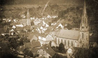
Weidenthal, municipality of Germany
Elevation above the sea: 295 m
Website: http://weidenthal.de
GPS coordinates: 49.42389,7.99083
Latest update: March 4, 2025 02:47
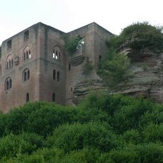
Frankenstein Castle
2.1 km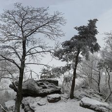
Drachenfels
4 km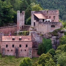
Spangenberg Castle
8.3 km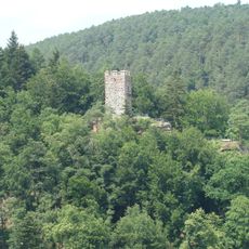
Erfenstein Castle
8 km
Schaudichnichtum Lodge
6.8 km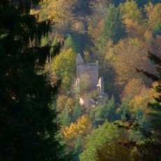
Breitenstein Castle
8.9 km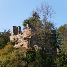
Burg Diemerstein
3.1 km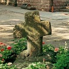
Lambertskreuz
5.7 km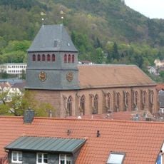
Kloster Lambrecht
8.2 km
Burg Neidenfels
5.4 km
Elmstein Castle
9 km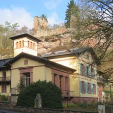
Villa Denis
3.1 km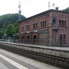
Frankenstein station
2.3 km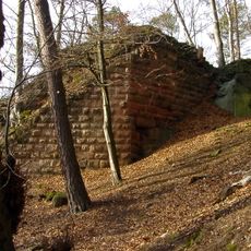
Burg Lichtenstein
5.1 km
Kloster Fischbach
6.5 km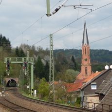
Weidenthal station
1.4 km
Münchhof (Hochspeyer)
6.6 km
Franzosenwoog
4.9 km
Forsthaus Jägerthal
5.6 km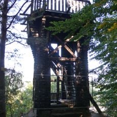
Dicker-Stein-Turm
8.1 km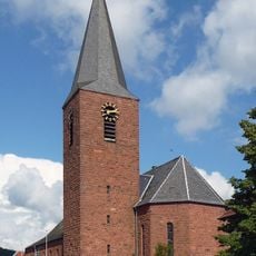
Bruder-Konrad-Kirche
5.2 km
Mollenkopf
3.4 km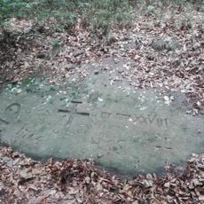
Loogfels Nr. 102
8.1 km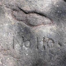
Christophel-Schuh
7.4 km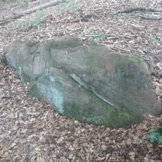
Loogfels Nr. 101
8.1 km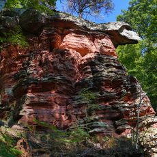
Drachenfels
4.3 km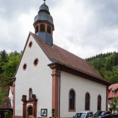
Mariä Heimsuchung
9.1 km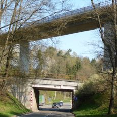
Viadukt B37
6.2 kmVisited this place? Tap the stars to rate it and share your experience / photos with the community! Try now! You can cancel it anytime.
Discover hidden gems everywhere you go!
From secret cafés to breathtaking viewpoints, skip the crowded tourist spots and find places that match your style. Our app makes it easy with voice search, smart filtering, route optimization, and insider tips from travelers worldwide. Download now for the complete mobile experience.

A unique approach to discovering new places❞
— Le Figaro
All the places worth exploring❞
— France Info
A tailor-made excursion in just a few clicks❞
— 20 Minutes