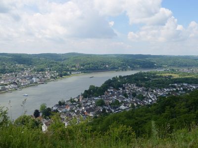
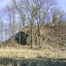
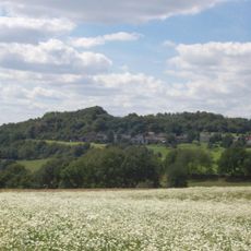
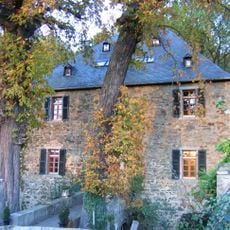
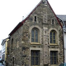
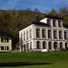
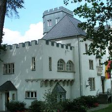
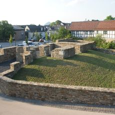
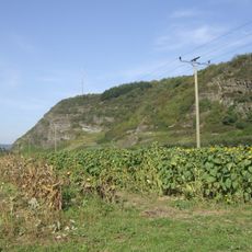
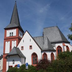
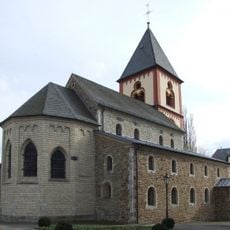
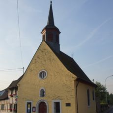
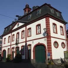
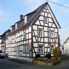
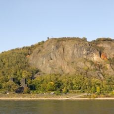
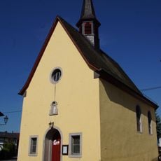
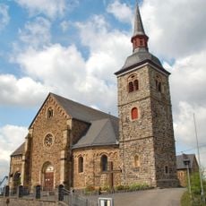
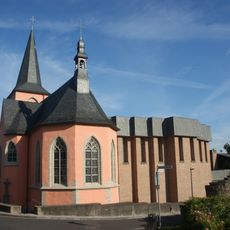
Erpel, municipality in Rhineland-Palatinate, Germany
Location: Unkel
Elevation above the sea: 56 m
Website: http://erpel.net
GPS coordinates: 50.58528,7.24000
Latest update: March 2, 2025 20:33
Schloss Hagerhof
4.9 km
Asberg
6.1 km
Burg Rennenberg
5.3 km
Église Saints-Pierre-et-Paul
1.1 km
Hummelsberg
6.1 km
Rigomagus
1.1 km
Burg Vilzelt
960 m
Roman Museum Remagen
1.1 km
Meerberg
4.8 km
Schloss Rennenberg
4.3 km
Obere Burg
3.6 km
Untere Burg
3.6 km
Stux
1.6 km
St. Johannes Baptist
2.1 km
Limbicher Weg 55
4.9 km
Gut Haanhof
2.2 km
St. Severinus (Erpel)
365 m
Reifstein
6 km
St. Sebastian (Heister)
1.1 km
Rathaus Erpel
353 m
Jüdischer Friedhof (Erpel)
265 m
Rheinstraße 16
3.8 km
St. Michael (Kasbach)
1.6 km
Maria Königin
6.3 km
Erpeler Ley
590 m
St. Josef
776 m
St. Nikolaus (Ohlenberg)
2.9 km
St. Maria Magdalena
3.6 kmVisited this place? Tap the stars to rate it and share your experience / photos with the community! Try now! You can cancel it anytime.
Discover hidden gems everywhere you go!
From secret cafés to breathtaking viewpoints, skip the crowded tourist spots and find places that match your style. Our app makes it easy with voice search, smart filtering, route optimization, and insider tips from travelers worldwide. Download now for the complete mobile experience.
A unique approach to discovering new places❞
— Le Figaro
All the places worth exploring❞
— France Info
A tailor-made excursion in just a few clicks❞
— 20 Minutes