
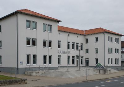
Vechelde, German municipality
Location: Peine
Elevation above the sea: 74 m
Shares border with: Peine, Brunswick, Salzgitter, Lengede, Wendeburg, Ilsede
Website: http://vechelde.de
GPS coordinates: 52.26083,10.37194
Latest update: March 6, 2025 09:21
Federal Agricultural Research Centre
5.8 km
Westpark
6.8 km
Seilbahnberg
6 km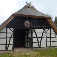
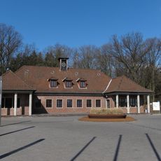
Bauernhausmuseum Bortfeld
4.3 km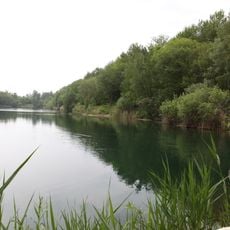
Lengeder Teiche
6.2 km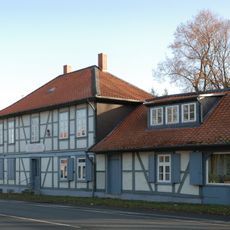
Raffturm
5.5 km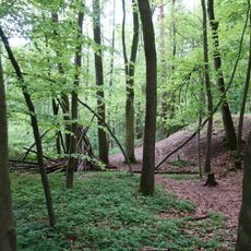
Timmerlaher Busch, Gleidinger Holz und angrenzende Landschaftsteile (Landkreis Peine)
4.9 km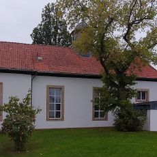
Propstei Vechelde
92 m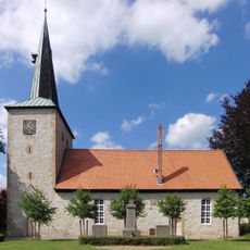
Kirche in Bettmar
2.9 km
Lammer Holz
6.1 km
St. Gereon (Vechelde)
516 m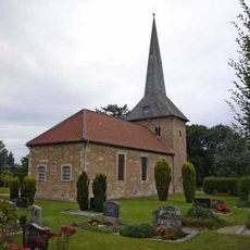
Saint Nicholas church
3.7 km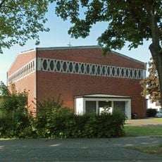
St. Marien
7.8 km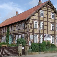
Zeiträume Bodenstedt
4.5 km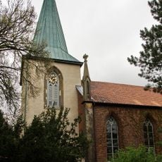
Liebfrauenkirche
6.3 km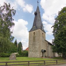
Evangelische Kirche Sierße
2.9 km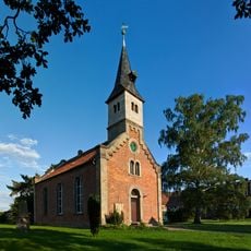
Saint Nicholas church in Alvesse
5.2 km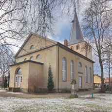
Kirche
6.7 km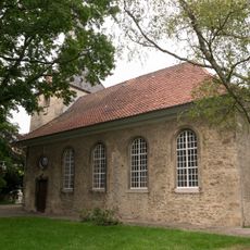
Georgskirche
4.3 km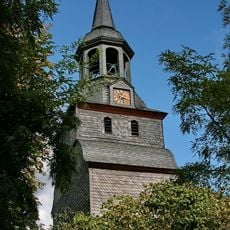
St. Georg
6 km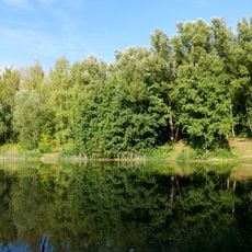
Lengede-Broistedt
6.9 km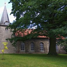
Saint John church
2.8 km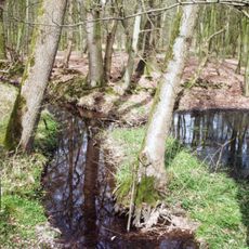
Staatsforst Sophiental und angrenzende Forste
4.2 km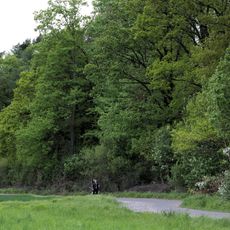
Broitzemer Holz
6.7 km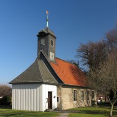
Saint Mary church in Köchingen
2.2 km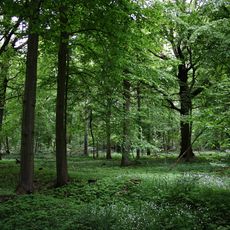
Timmerlaher Busch, Gleidinger Holz und angrenzende Landschaftsteile (Braunschweig)
5.7 km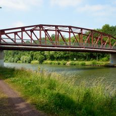
Bridge in Sophiental
5.2 km
Lengeder Teiche
6.8 kmVisited this place? Tap the stars to rate it and share your experience / photos with the community! Try now! You can cancel it anytime.
Discover hidden gems everywhere you go!
From secret cafés to breathtaking viewpoints, skip the crowded tourist spots and find places that match your style. Our app makes it easy with voice search, smart filtering, route optimization, and insider tips from travelers worldwide. Download now for the complete mobile experience.

A unique approach to discovering new places❞
— Le Figaro
All the places worth exploring❞
— France Info
A tailor-made excursion in just a few clicks❞
— 20 Minutes