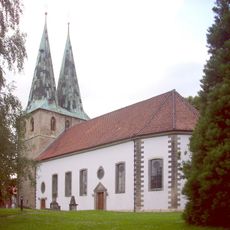
Peine, Administrative district in Lower Saxony, Germany
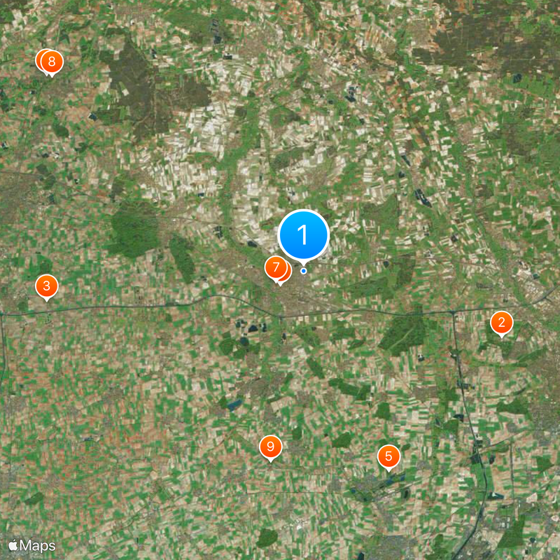
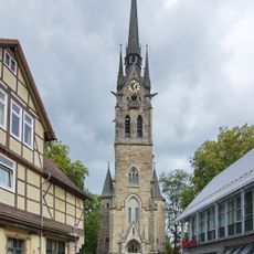
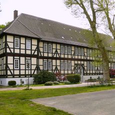
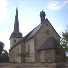
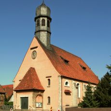
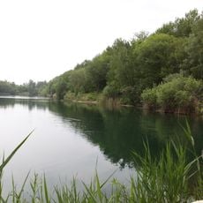
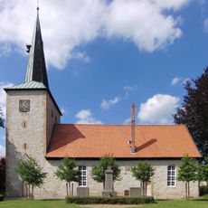
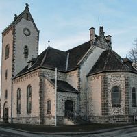
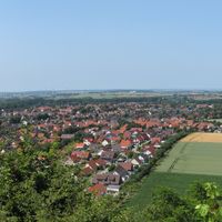
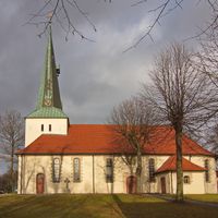
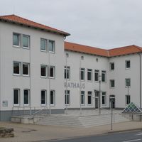
Peine is an administrative district in Lower Saxony that lies between the cities of Hildesheim, Hanover, Brunswick, and Salzgitter. Seven municipalities make up this region, with Peine serving as the main town and administrative center.
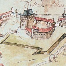
The district was established in 1885 following Prussia's takeover of Hanover in 1866 and the subsequent regional reorganization. This administrative reform was designed to organize the northwestern territories under unified control.
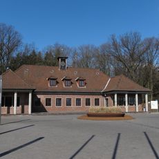
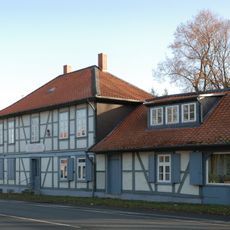
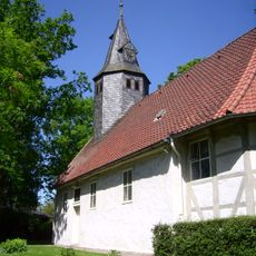
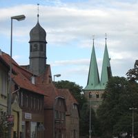
The district takes its name from the main town of Peine, which was already established as a settlement in the Middle Ages. This historical connection still shapes how the district identifies itself today.
The district is well connected by road and rail, making it easy to travel between towns and villages. A map or GPS device is helpful when exploring the multiple communities that make up the region.
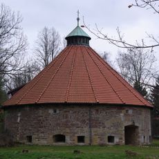
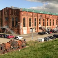
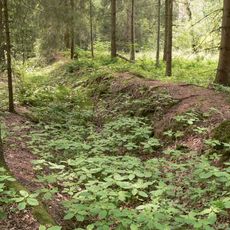
The Lengede mine was the site of one of West Germany's largest mining disasters in 1963, when miners became trapped underground. The rescue operation that followed became a symbol of human determination and technical expertise.
Location: Lower Saxony
Inception: 1885
Capital city: Peine
Elevation above the sea: 66 m
Part of: Regionalverband Großraum Braunschweig, Braunschweig region
Shares border with: Gifhorn, Brunswick, Salzgitter, Hildesheim, Hannover Region
Website: https://landkreis-peine.de
GPS coordinates: 52.33000,10.25000
Latest update: December 7, 2025 10:03
Federal Agricultural Research Centre
13.7 km
Schloss Rethmar
16.9 km
Kapelle des Magdalenenfriedhofs
21.2 km
Seilbahnberg
14.2 km
St.-Jakobi-Kirche
1.8 km
Peine Castle
1.9 km
Schloss Burgdorf
20.9 km
Burg Steinbrück
12.6 km
Gebläsehalle
7.9 km
Bauernhausmuseum Bortfeld
11.3 km
Hl. Engel
2 km
Markuskirche
10.1 km
St. Pankratius
21 km
Marienkirche (Wendeburg)
9.9 km
St. Martinus
21.3 km
Hetelingen
16.7 km
Kath. Kirche St. Laurentius
15.1 km
Bismarck Tower (Oberg)
7.4 km
Lengeder Teiche
14.7 km
Raffturm
15.8 km
St.-Urban-Kirche
5.2 km
Scheverlingenburg
13.4 km
Ev. Kirche St. Laurentius
15 km
Timmerlaher Busch, Gleidinger Holz und angrenzende Landschaftsteile (Landkreis Peine)
15.7 km
Wasserturm Groß Lafferde
11.7 km
Propstei Vechelde
11.4 km
Kirche in Bettmar
9.6 km
St. Bernward
7.2 kmVisited this place? Tap the stars to rate it and share your experience / photos with the community! Try now! You can cancel it anytime.
Discover hidden gems everywhere you go!
From secret cafés to breathtaking viewpoints, skip the crowded tourist spots and find places that match your style. Our app makes it easy with voice search, smart filtering, route optimization, and insider tips from travelers worldwide. Download now for the complete mobile experience.
A unique approach to discovering new places❞
— Le Figaro
All the places worth exploring❞
— France Info
A tailor-made excursion in just a few clicks❞
— 20 Minutes