Bohmte, municipality of Germany
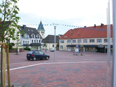
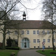
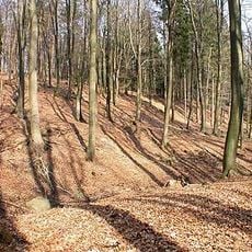
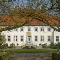
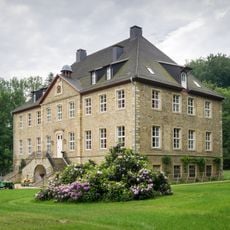
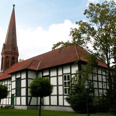
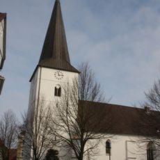
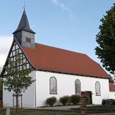
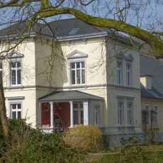
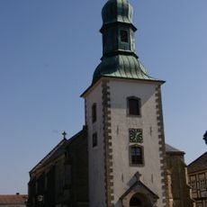
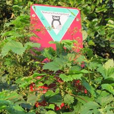
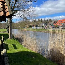
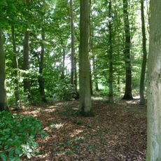
Bohmte is a municipality in the southwestern part of the Osnabrueck district, surrounded by fields and forests. The town has around 13,000 residents, features traditional 19th-century architecture throughout its streets, and is served by a railway station connecting it to the broader region.
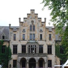
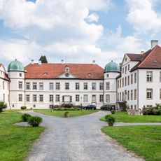
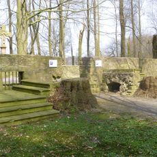
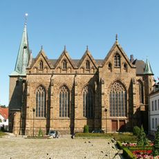
Bohmte was founded in 1074 and holds deep roots in German history. The town was reshaped in 1972 when several villages and towns merged to form the current municipality, preserving over 900 years of cultural heritage.
The name Bohmte reflects the area's rural roots and historical development over centuries. Today, locals gather regularly at festivals, markets, and community events, where shared traditions and neighborly connections shape daily life.
Visitors can navigate easily by car or bike, as streets are straightforward and designed with safety in mind. The town has local shops, cafes, and restaurants that are accessible from the railway station.
Bohmte honors Reinhold Tiling, a rocket science pioneer, and Karl Janisch, a noted architect, who emerged from the area. These historical figures reveal the town's unexpected connection to major technical and design innovations.
The community of curious travelers
AroundUs brings together thousands of curated places, local tips, and hidden gems, enriched daily by 60,000 contributors worldwide.