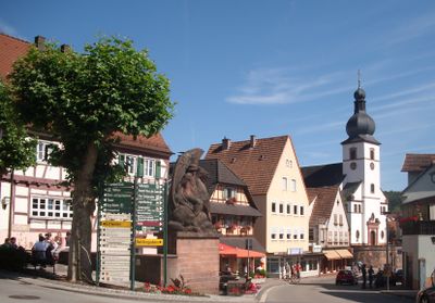
Dahn, Urban municipality in Südwestpfalz district, Germany.
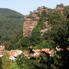
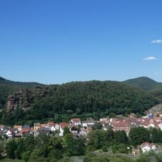
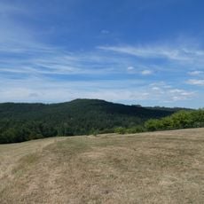
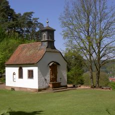
Dahn is a small municipality located in the Palatinate Forest region of southwestern Germany, nestled in a landscape of forests and natural rock formations. The town sits at around 210 meters elevation and is surrounded by rolling terrain marked by steep stone outcrops and forested valleys.
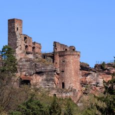
The municipality officially received its administrative status in 1963 following a successful application to the state of Rhineland-Palatinate. The three castle ruins that stand in the landscape today date back to medieval times, long before the modern town took its current form.
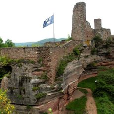
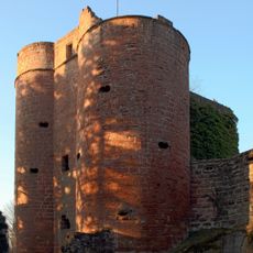
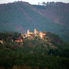
The town is known for its three medieval castle ruins—Altdahn, Grafendahn, and Tanstein—which shape the local landscape and attract visitors interested in regional heritage. These ruins are woven into how people experience and understand the area today.
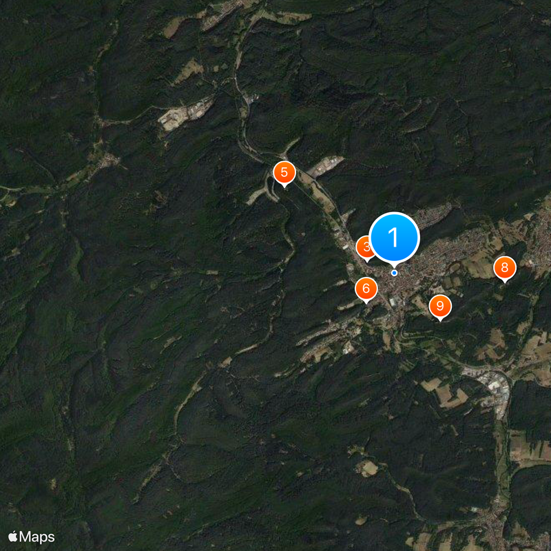
The B 427 federal road is the main route for reaching the area by car and connects to surrounding regions. For rail travel, the Wieslauter Railway service runs only on Sundays and public holidays, so check ahead if using public transport.
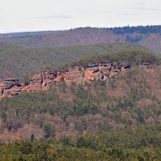
The Jungfernsprung rock formation rises about 70 meters high and draws climbers with its natural stone surfaces and technical climbing routes. This geological feature is less known to casual visitors than the castle ruins nearby.
The community of curious travelers
AroundUs brings together thousands of curated places, local tips, and hidden gems, enriched daily by 60,000 contributors worldwide.