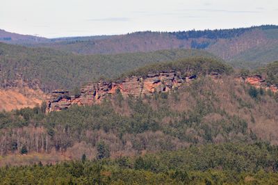
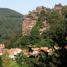
Hochstein, Natural monument and summit in Rhineland-Palatinate, Germany
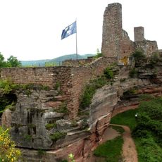
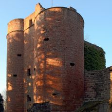
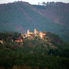
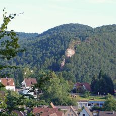
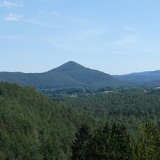
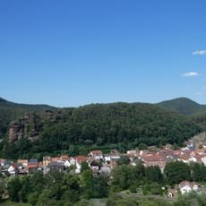
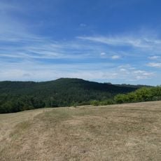
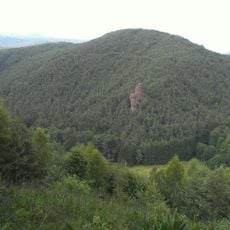
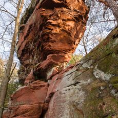
Hochstein is a summit and natural monument in the Palatinate region, rising to approximately 345 meters above the surrounding landscape. Its distinctive sandstone formations create striking rock outcrops that define the terrain of the Dahner Felsenland.
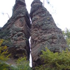
Hochstein formed during the Permian period around 300 million years ago through sedimentary processes that shaped its sandstone layers. This ancient geological history established the foundation for the landscape structure we see in the Dahner Felsenland region today.
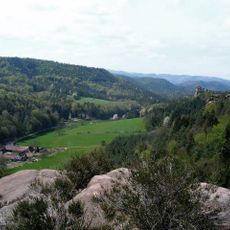
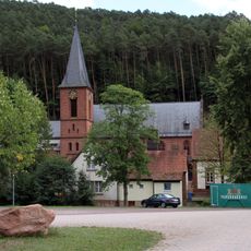
The summit serves as a regular destination for hikers from the surrounding Dahn area, who use it as a focal point for outdoor activities throughout the seasons. Local people value the location as a place to spend time outdoors and observe the landscape.
The summit is accessible via clearly marked trails that connect to the broader network of hiking paths throughout the area. Visitors can rely on the consistent marking system to navigate, as the routes are well-signed and maintained.
The sandstone formations display specific geological patterns that set them apart from other rock outcrops in the surrounding Dahner Felsenland. These distinctive structures developed through particular mineral and layering processes that make the site noteworthy for those interested in geology.
The community of curious travelers
AroundUs brings together thousands of curated places, local tips, and hidden gems, enriched daily by 60,000 contributors worldwide.