Thuringian Basin, Natural agricultural region in central Germany
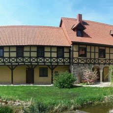
The Thuringian Basin is a low agricultural plain in central Germany nestled between mountain ranges to its north and south. This wide, open landscape is dotted with river valleys and several major towns that form natural focal points within the region.
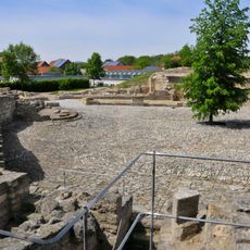
The basin took shape during the Triassic period as layers of sediment accumulated and hardened into rock. Over time the region became an important center for commerce and learning, with towns that grew steadily in influence.
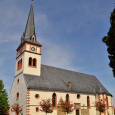
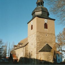
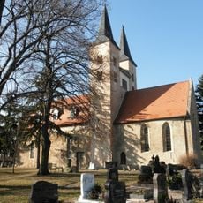
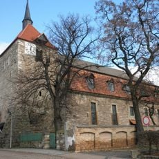
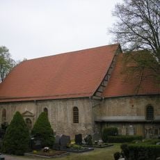
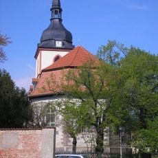
The region has been a center of German cultural achievement for centuries, and you can feel the presence of artists and thinkers throughout its towns and landscapes. The towns here shaped European intellectual history through their inhabitants' contributions to philosophy, literature, and music.
Spring and autumn offer the most pleasant conditions for exploring this open landscape and visiting its towns. The flat terrain makes it easy to travel through the region by various means, and river valleys provide natural routes to follow.
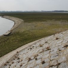
The plain is ringed by limestone ridges that rise like natural walls, creating a distinct boundary between the flat center and the surrounding heights. These ridges appear almost as if someone drew a circle around the entire basin.
The community of curious travelers
AroundUs brings together thousands of curated places, local tips, and hidden gems, enriched daily by 60,000 contributors worldwide.