
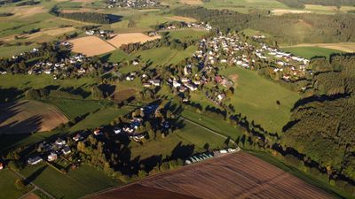
Birnbach, municipality of Germany
Location: Altenkirchen district
Elevation above the sea: 270 m
Website: http://vg-altenkirchen.de
GPS coordinates: 50.70361,7.58528
Latest update: March 17, 2025 08:55
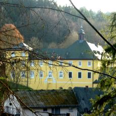
Marienthal Abbey
7.1 km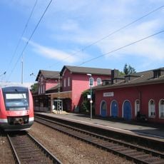
Au station
9.3 km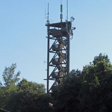
Raiffeisen Tower
4.2 km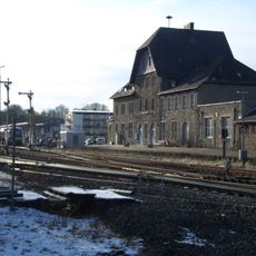
Altenkirchen station
4.3 km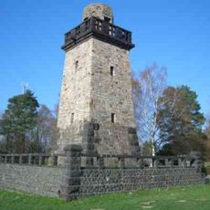
Bismarck Tower
5.2 km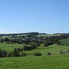
Beulskopf
4.2 km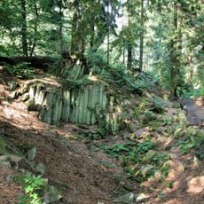
Basaltkrater Blauer Stein
5.3 km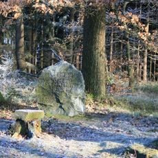
Hoher Schaden
7.2 km
Wilhelmstraße (Altenkirchen)
4.7 km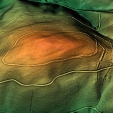
Ringwälle bei Stromberg
6.3 km
Burg Reifershardt
9 km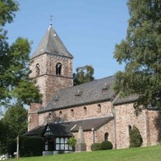
Evangelische Kirche Birnbach
37 m
Grube Petersbach
8.9 km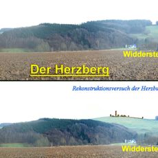
Herzburg
8.8 km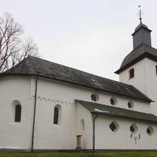
Evangelische Kirche Almersbach
4.1 km
Motte Broichhausen
8.7 km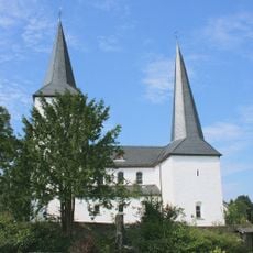
Evangelische Kirche Leuscheid
7.5 km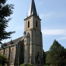
Evangelische Kirche Herchen
10 km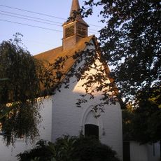
Kapelle Stromberg
8 km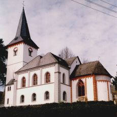
St. Michael (Flammersfeld)
7.3 km
Synagoge Altenkirchen
4.9 km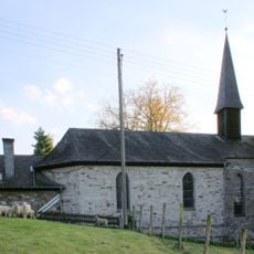
St.Franziskus-Xaverius
9.5 km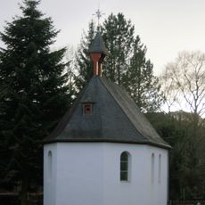
Antoniuskapelle
9.9 km
Kreuzkapelle Alzenbach
9.7 km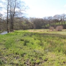
In der Rommerswiese
8 km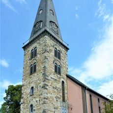
Christuskirche
4.6 km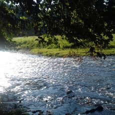
Wälder und Offenlandbereiche um Marienthal
7.2 km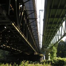
Eisenbahnbrücke über die Sieg bei Herchen
9.2 kmVisited this place? Tap the stars to rate it and share your experience / photos with the community! Try now! You can cancel it anytime.
Discover hidden gems everywhere you go!
From secret cafés to breathtaking viewpoints, skip the crowded tourist spots and find places that match your style. Our app makes it easy with voice search, smart filtering, route optimization, and insider tips from travelers worldwide. Download now for the complete mobile experience.

A unique approach to discovering new places❞
— Le Figaro
All the places worth exploring❞
— France Info
A tailor-made excursion in just a few clicks❞
— 20 Minutes