Hoher Schaden, Mountain summit in Eitorf, Germany.
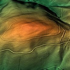
Hoher Schaden is a 388-metre hill in the municipality of Eitorf, the highest point in the Leuscheid forest area. It belongs to the Rhenish Massif, and its summit is covered by trees, so there is no panorama from the top. Nearby rises include Hurst at 288 metres and the Hüppelröttchen, named after a former forestry house.
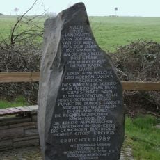
In 1867 a wooden observation tower was erected on the summit, consisting of three storeys each ten feet high. It has not survived, and today the tree cover on the summit blocks any panoramic view. The mountain lies in the Leuscheid forest and is the highest point in the municipality of Eitorf at 388 m.
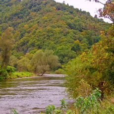
The streams rising on the Hoher Schaden carry names tied to their use: the Mühlenbach takes its name from a medieval mill east of Rodder, long since gone, that it once powered. The Wohmbach flows into the Eipbach at the Obereiper Mühle, and the Dickersbach, Sehlenbach and Altebach rise from the Friedrichsquellen springs.
Multiple hiking routes reach the summit, with routes varying in duration and steepness depending on your starting point in the area. It is best to wear sturdy footwear since the forest floor can be uneven and paths may become slippery during wetter seasons.
Two large stream systems rise on Hoher Schaden and never leave the Leuscheid: the Wohmbach flows into the Eipbach at the Obereiper Mühle, while the Mühlenbach empties into the Sieg opposite Stromberg. The Dickersbach, Sehlenbach and Altebach also spring here, the last from the Friedrichsquellen. The medieval mill that gave the Mühlenbach its name, east of Rodder, has long disappeared.
The community of curious travelers
AroundUs brings together thousands of curated places, local tips, and hidden gems, enriched daily by 94,515 contributors worldwide.