
Ormont, municipality of Germany
Location: Vulkaneifel
Elevation above the sea: 530 m
Website: http://www.ormont.de
Website: http://ormont.de
GPS coordinates: 50.32750,6.44278
Latest update: March 8, 2025 19:27
Adenauervilla
8.9 km
Kronenburger See
4.1 km
ArsTecnica
5 km
Prüm Air Station
5.8 km
Kronenburg Castle
4.7 km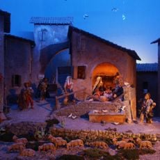
Arskrippana
5 km
St. Mariä Geburt
6.1 km
St. Brictius
6.3 km
Saint Joseph Church
6.7 km
Brigid of Kildare Chapel (Kronenburg)
4.5 km
St. Johann Baptist
4.7 km
ArsFIGURA
5 km
St. Nikolaus
3 km
St. Hubertus
7.9 km
St. Brictius
6.2 km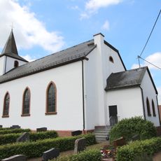
St. Margareta
31 m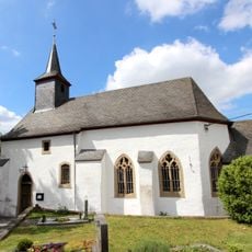
St. Lucia
4.6 km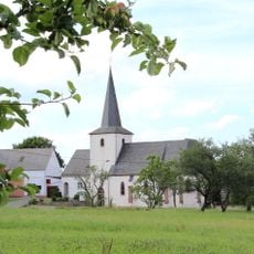
St. Leonhard
4.1 km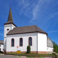
St. Hubertus
5.3 km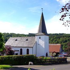
St. Agatha und Lucia
7 km
St. Franz Xaver
6.1 km
Volksschule Losheim
6.2 km
St. Eligius (Schlausenbach)
7.7 km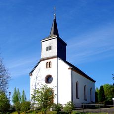
St. Matthias
5.6 km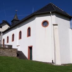
Barbarakapelle (Dahlem-Frauenkron)
5 km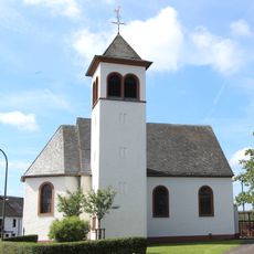
St. Nikolaus
4.8 km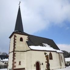
Kapelle St. Eligius
4.3 km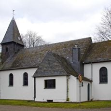
St. Mariä Himmelfahrt
2.6 kmReviews
Visited this place? Tap the stars to rate it and share your experience / photos with the community! Try now! You can cancel it anytime.
Discover hidden gems everywhere you go!
From secret cafés to breathtaking viewpoints, skip the crowded tourist spots and find places that match your style. Our app makes it easy with voice search, smart filtering, route optimization, and insider tips from travelers worldwide. Download now for the complete mobile experience.

A unique approach to discovering new places❞
— Le Figaro
All the places worth exploring❞
— France Info
A tailor-made excursion in just a few clicks❞
— 20 Minutes