Osthofen, municipality of Germany
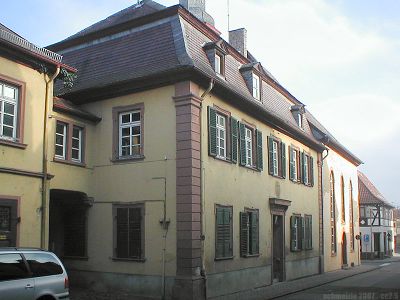
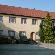
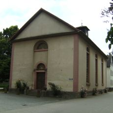
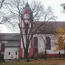
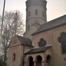
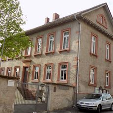
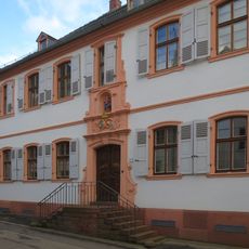
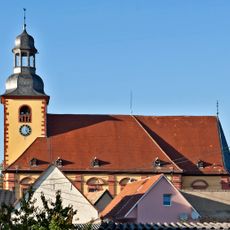
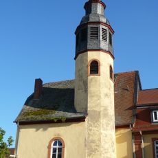
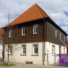
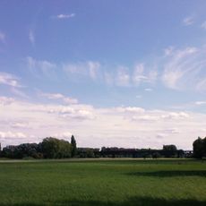
Osthofen is a town in Rheinhessen, nestled among vineyards and rolling hills in the Alzey-Worms district. It features residential buildings, small apartment complexes, and local shops arranged around a rural landscape, with access to the nearby Eich lake and pathways leading through surrounding farmland.
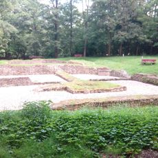
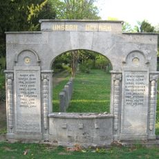
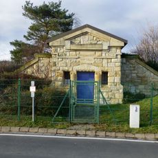
The settlement was first recorded in 784 as Ostowa when gifted to a monastery, but archaeological finds reveal habitation dating back thousands of years before. It experienced Roman occupation, suffered destruction during wars in the 1600s and Napoleonic period, and in 1933 became the location of a Nazi concentration camp.
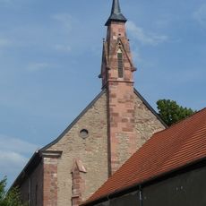
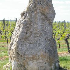
Wine production shapes daily life in this town, where families have maintained winemaking traditions for many generations. The annual harvest and local wine festivals bring the community together and reflect the deep connection between the people and their vineyards.
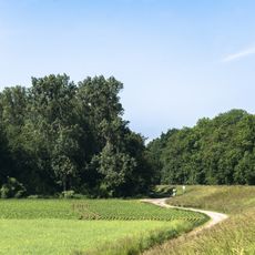
Visitors can explore on foot or by bike using well-marked trails that connect the town to neighboring villages and pass through vineyards. The location is easily accessible by road and rail, with good connections to nearby cities like Worms and Mainz for day trips.
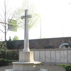
The Gedenkstätte KZ Osthofen memorial site documents the 1933 concentration camp that operated under harsh conditions though it was not a death camp. The museum features photographs, documents, and recorded personal accounts that allow visitors to learn about the prisoners and this darker chapter of the town's history.
The community of curious travelers
AroundUs brings together thousands of curated places, local tips, and hidden gems, enriched daily by 60,000 contributors worldwide.