
Niederahr, municipality of Germany
Location: Westerwaldkreis
Elevation above the sea: 300 m
Website: http://wallmerod.de
GPS coordinates: 50.49194,7.86111
Latest update: March 19, 2025 20:27
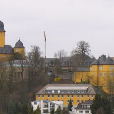
Schloss Montabaur
6.4 km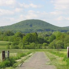
Malberg
2 km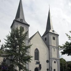
St. Peter in Ketten
6.7 km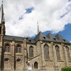
Westerwälder Dom
4.7 km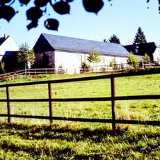
Burg Dernbach
6.3 km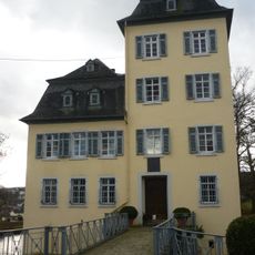
Hof Neuroth
6.6 km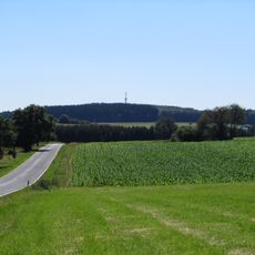
Helleberg
6.8 km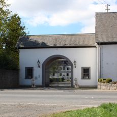
Hofgut Langwiesen
2.2 km
Tonbergbaumuseum Siershahn
6.8 km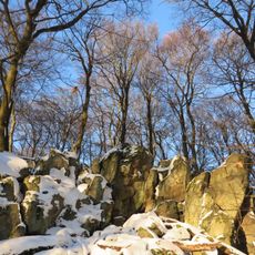
Malberg
1.9 km
St. Johannes
7.4 km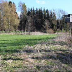
Eisenbachwiesen
4.5 km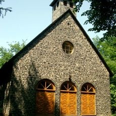
Marienwaldkapelle
6.7 km
Steinbruch am Breiten Berg
2.3 km
Hartenberg/Steincheswiese
7.2 km
Synagoge
7.3 km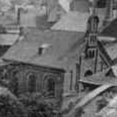
Synagoge
6.6 km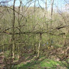
Tongrube Beckershaid
1.5 km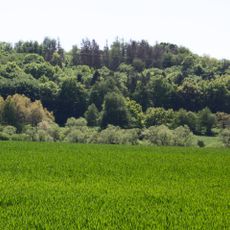
Fussenacker
5.4 km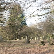
Jüdischer Friedhof
7.7 km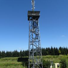
Helleberg Observation Tower
6.8 km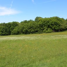
Im Kumpf
3.5 km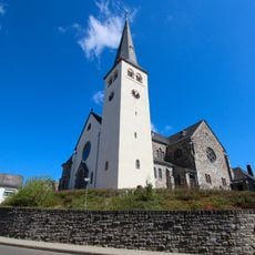
St. Petri Thronerhebung
2.6 km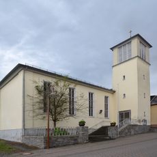
Evangelische Kirche
7.3 km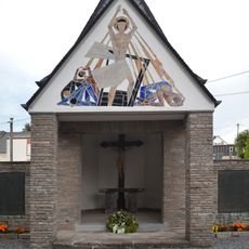
Gefallenendenkmal
6.4 km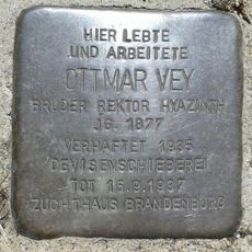
Stolperstein dedicated to Ottmar Vey
7.1 km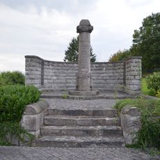
Kriegerdenkmal Mogendorf
7.2 km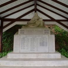
Gefallenendenkmal
7.1 kmReviews
Visited this place? Tap the stars to rate it and share your experience / photos with the community! Try now! You can cancel it anytime.
Discover hidden gems everywhere you go!
From secret cafés to breathtaking viewpoints, skip the crowded tourist spots and find places that match your style. Our app makes it easy with voice search, smart filtering, route optimization, and insider tips from travelers worldwide. Download now for the complete mobile experience.

A unique approach to discovering new places❞
— Le Figaro
All the places worth exploring❞
— France Info
A tailor-made excursion in just a few clicks❞
— 20 Minutes