Gründau, Municipality in Main-Kinzig-Kreis, Germany.
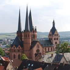
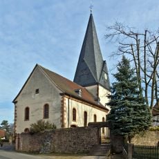
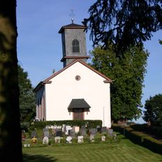
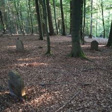
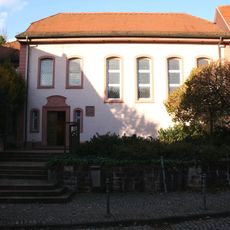
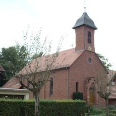
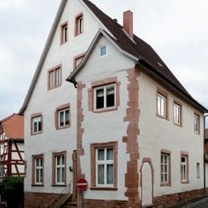
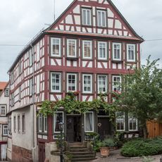
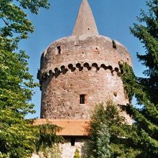
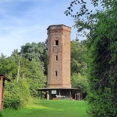
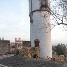
Gründau is a municipality in the Main-Kinzig-Kreis region of Hesse, composed of seven separate villages spread across a gently rolling landscape. Each of these communities has its own center and character, with the area marked by a mix of open farmland, small woodlands, and residential areas.
The seven villages that make up Gründau have roots reaching back to the 11th century, but existed as independent settlements with separate administrations for many centuries. They were unified into a single municipality in 1971 to create a more streamlined administrative structure.
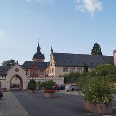
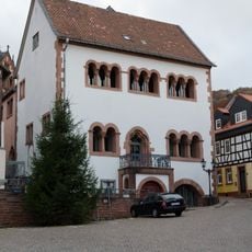
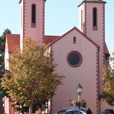
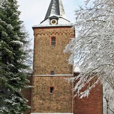
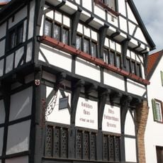
The villages that make up this municipality have each maintained their own local character and traditions despite the modern administrative union. Walking through the different communities, you notice distinct architectural styles and local customs that reflect each settlement's independent past.
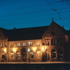
The municipality benefits from good train connections to surrounding cities, making it fairly easy to reach by public transit. Since the various communities are spread out across the region, having a car or bicycle is helpful for exploring all the different villages.
The area has established partnerships with two other communities, one French village and one German town, demonstrating its role as a place with wider regional connections. These relationships allow for the exchange of people and ideas across borders and between different regions.
The community of curious travelers
AroundUs brings together thousands of curated places, local tips, and hidden gems, enriched daily by 60,000 contributors worldwide.