
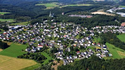
Willroth, municipality of Germany
Location: Altenkirchen district
Elevation above the sea: 368 m
Website: http://www.willroth.de
Website: http://willroth.de
GPS coordinates: 50.56806,7.52889
Latest update: April 4, 2025 08:47
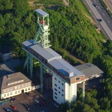
Grube Georg
481 m
Kreuzkirche
10.3 km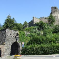
Altwied Castle
10.4 km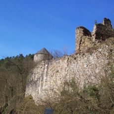
Burg Ehrenstein
7.6 km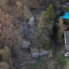
Burg Braunsberg
8.4 km
Burg Altenwied
10.2 km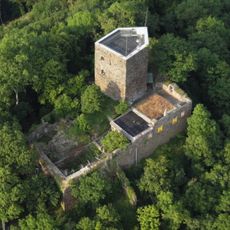
Neuerburg (Wied)
7.3 km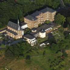
Kloster Marienhaus
8.3 km
Burg Reichenstein (Westerwald)
6.4 km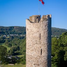
Burg Lahr
6.2 km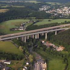
Wiedtal Bridge
10 km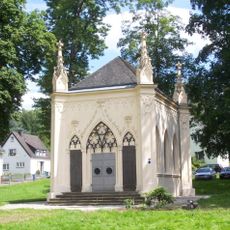
Mausoleum der Grafen von Wied-Runkel
9.3 km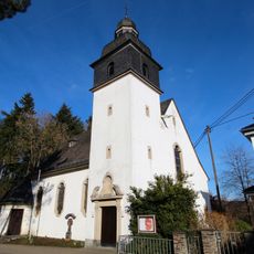
St. Kastor
7.3 km
Evangelische Kirche (Dierdorf)
9.4 km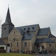
St. Petrus (Peterslahr)
6.1 km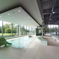
Aquafit Dierdorf
9.3 km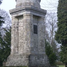
Bismarckturm
8 km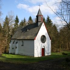
Turmhügelburg Ütgenbach
10.8 km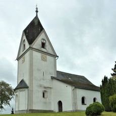
Evangelische Kirche (Raubach)
6.9 km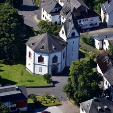
Evangelische Kirche (Urbach)
4.2 km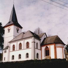
St. Michael (Flammersfeld)
8.9 km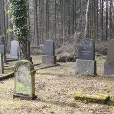
Jewish cemetery, Puderbach
7 km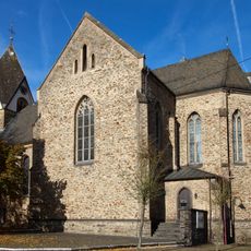
St. Bonifatius
10.2 km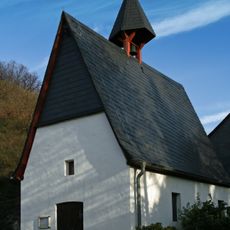
Mariä Heimsuchung
6.1 km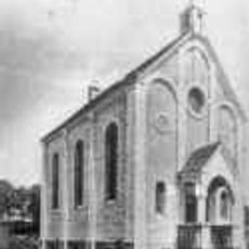
Synagoge
6.7 km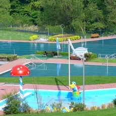
Freibad Rengsdorf
7.3 km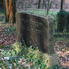
Jüdischer Friedhof
7.4 km
Adoration of the Magi on stained-glass window of Heilige Dreifaltigkeit (Ehrenstein)
7.6 kmReviews
Visited this place? Tap the stars to rate it and share your experience / photos with the community! Try now! You can cancel it anytime.
Discover hidden gems everywhere you go!
From secret cafés to breathtaking viewpoints, skip the crowded tourist spots and find places that match your style. Our app makes it easy with voice search, smart filtering, route optimization, and insider tips from travelers worldwide. Download now for the complete mobile experience.

A unique approach to discovering new places❞
— Le Figaro
All the places worth exploring❞
— France Info
A tailor-made excursion in just a few clicks❞
— 20 Minutes