
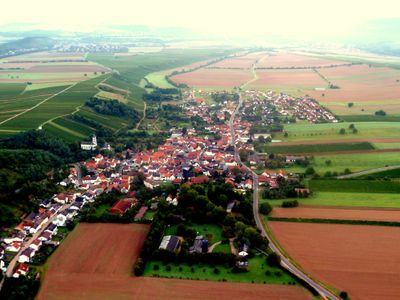
Mandel, municipality of Germany
Location: Bad Kreuznach
Elevation above the sea: 200 m
Shares border with: Sankt Katharinen,
Website: http://gemeinde-mandel.de
GPS coordinates: 49.85556,7.77222
Latest update: May 8, 2025 07:47
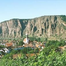
Rotenfels
6.3 km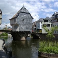
Alte Nahebrücke
6.3 km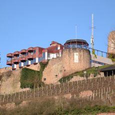
Kauzenburg
6 km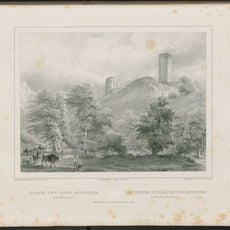
Castle Sponheim
4.9 km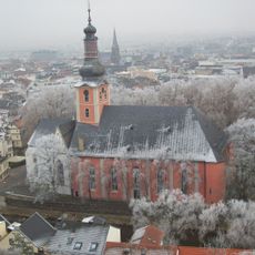
Pauluskirche
6.2 km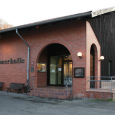
Roemerhalle Bad Kreuznach
5.5 km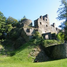
Burg Dalberg
5.4 km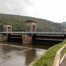
Stausee Niederhausen
5.8 km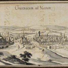
Schloss Oranienhof
6.2 km
Burg Schloßböckelheim
6 km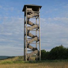
Heimberg tower
6 km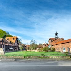
Rittergut Bangert
5.7 km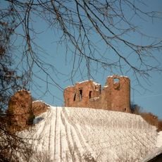
Gutenburg Castle
3.5 km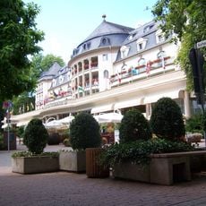
Parkhotel Kurhaus
6 km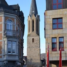
Wilhelmskirche
6.3 km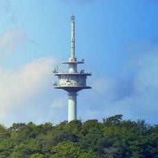
Fernmeldeturm Bad Kreuznach
5.5 km
Museum für Puppentheaterkultur
5.5 km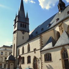
St. Nikolaus
6.1 km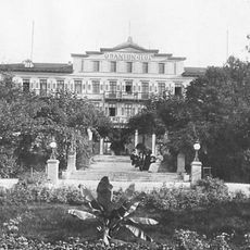
Hotel Oranienhof
6.2 km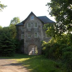
Rosenburg
5.9 km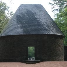
Ehrenfriedhof Bad Kreuznach
4.3 km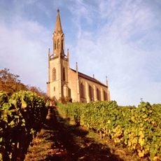
Bergkirche (Waldböckelheim)
5.7 km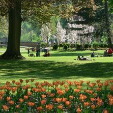
Kurpark Bad Kreuznach
6.1 km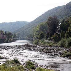
Kurpark Bad Kreuznach
5.9 km
Synagoge
5.9 km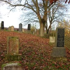
Jüdischer Friedhof
388 m
Kurpark
6.1 km
St. Laurentius
3.7 kmVisited this place? Tap the stars to rate it and share your experience / photos with the community! Try now! You can cancel it anytime.
Discover hidden gems everywhere you go!
From secret cafés to breathtaking viewpoints, skip the crowded tourist spots and find places that match your style. Our app makes it easy with voice search, smart filtering, route optimization, and insider tips from travelers worldwide. Download now for the complete mobile experience.

A unique approach to discovering new places❞
— Le Figaro
All the places worth exploring❞
— France Info
A tailor-made excursion in just a few clicks❞
— 20 Minutes