
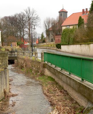
Räbke, municipality of Germany
Location: Helmstedt District
Location: Nord-Elm
Elevation above the sea: 134 m
Website: https://raebke.de
GPS coordinates: 52.20000,10.88306
Latest update: March 3, 2025 10:03
Imperial cathedral of Königslutter
6.8 km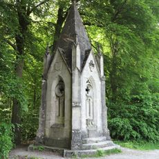
Tetzelstein
6.3 km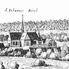
Burg Süpplingenburg
5.8 km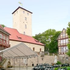
Burg Warberg
2.9 km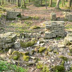
Elmsburg
6.7 km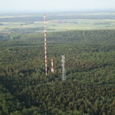
Sender Drachenberg
7.2 km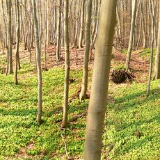
Burg Warburg
3.6 km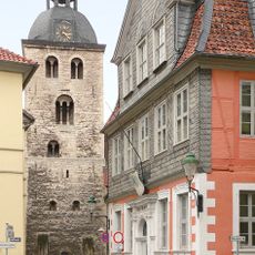
Stadtkirche St. Sebastian und Fabian
7.3 km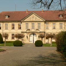
Schloss Sambleben
7.8 km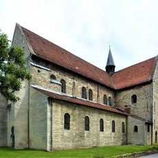
St.-Johannis-Kirche
5.8 km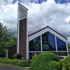
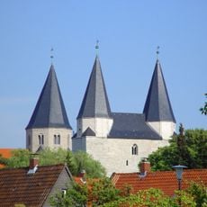
St. Mary's Ascension church Königslutter
7.6 km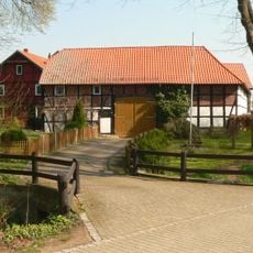
Wassermühle Liesebach
478 m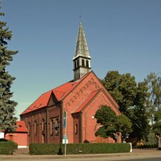
St. Bonifatius
2.9 km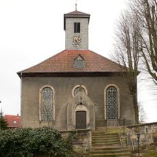
St.-Stephani-Kirche
695 m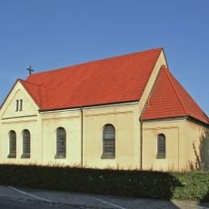
St. Joseph (Wolsdorf)
4 km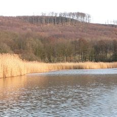
Reitlingstal
8.6 km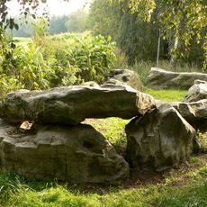
Großsteingrab Süpplingenburg
6 km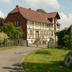
Mühle Prinzhorn
540 m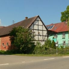
Mönchsmühle
722 m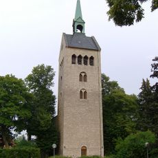
St. Lambertus
3.4 km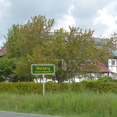
Kißleberfeld
5.2 km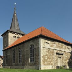
St. Marien
7.1 km
Category:Amtsmahlmühle
1.1 km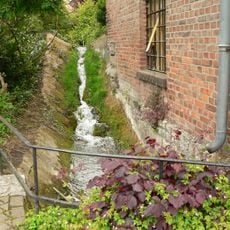
Ölmühle Räbke
516 m
St. Georg
3.1 km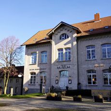
City Konigslutter
6.7 km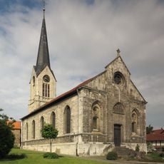
St. Maria-Kirche
3 km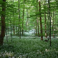
Nordwestlicher Elm
7.7 kmVisited this place? Tap the stars to rate it and share your experience / photos with the community! Try now! You can cancel it anytime.
Discover hidden gems everywhere you go!
From secret cafés to breathtaking viewpoints, skip the crowded tourist spots and find places that match your style. Our app makes it easy with voice search, smart filtering, route optimization, and insider tips from travelers worldwide. Download now for the complete mobile experience.

A unique approach to discovering new places❞
— Le Figaro
All the places worth exploring❞
— France Info
A tailor-made excursion in just a few clicks❞
— 20 Minutes