Enable Location

We need your location to show you interesting places around you

Discover nearby places

Find interesting locations and hidden gems around you

Precise directions

Get accurate directions and distances to places

Your location is never shared with other users. It's only used when you tap the location button.

Wallerfangen

Log in to your account

Start exploring — it's free

Trusted by 65,449 travelers worldwide

Continue with Google
Continue with Apple
or

We will send you a code to connect

By continuing, you accept our Terms and Conditions and our Privacy Policy

Check your inbox

We've sent a pincode in your inbox. Please enter the code below.

Discussion Reviews 1 Photos
18.9k Popularity

Wallerfangen, municipality of Germany

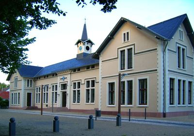
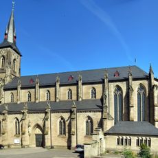
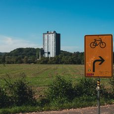
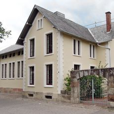
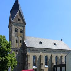
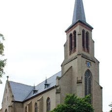
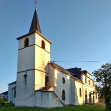
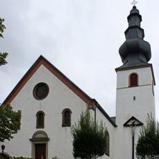
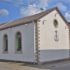
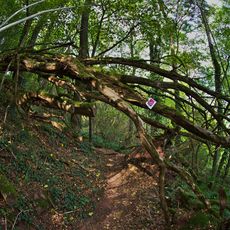
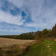
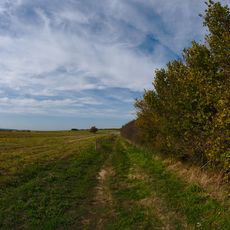
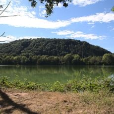
Wallerfangen is a small town in the Saarlouis district, a non-urban municipality with quiet streets and historic structures from the medieval period. The town is composed of several smaller villages and sits among fields and patches of forest.

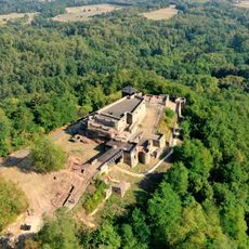
Originally called Walderfinga, the town was founded under the rule of the Duchy of Lorraine until its destruction in 1687, after which residents relocated to nearby Saarlouis. In the 19th century, the area came under Prussian control, and later experienced profound changes during the World Wars and shifting political boundaries between Germany and France.

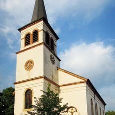
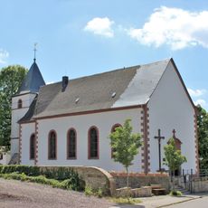
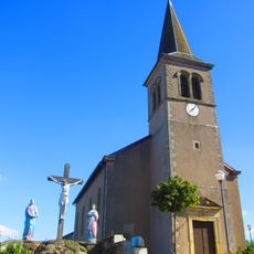
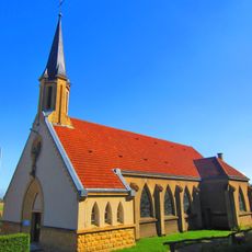
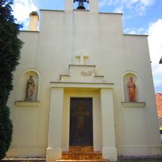
The name Wallerfangen reflects its medieval origins. Today, local festivals and church celebrations bring residents together, and visitors can observe how neighbors gather for meals and work on community projects as part of daily life.

The town is easily accessible by car on country roads and lies close enough to larger towns to serve as a peaceful base for exploring the region. Visitors can find small shops and cafes where they can experience how local people work and live.

The town is home to the burial site of Franz von Papen, a historical figure of European significance, giving this small village an unexpected historical connection. Additionally, the area served as a battleground in 1944 and 1945, when residents had to abandon their homes and the community rebuilt itself afterward.

The community of curious travelers

AroundUs brings together thousands of curated places, local tips, and hidden gems, enriched daily by 60,000 contributors worldwide.

Start exploring
Location
Elevation above the sea
182 m
GPS coordinates
49.32781,6.72081
Latest update
February 16, 2026 23:20
Reviews
Share your experience

No review yet

Discussions
Start a discussion...

No discussion yet

« Wallerfangen - municipality of Germany » is provided by Around Us (aroundus.com). Images and texts are derived from Wikimedia project under a Creative Commons license. You are allowed to copy, distribute, and modify copies of this page, under the conditions set by the license, as long as this note is clearly visible.

Discover hidden gems everywhere you go!

From secret cafés to breathtaking viewpoints, skip the crowded tourist spots and find places that match your style. Our app makes it easy with voice search, smart filtering, route optimization, and insider tips from travelers worldwide. Download now for the complete mobile experience.

Around Us App Screenshot

A unique approach to discovering new places

Le Figaro

All the places worth exploring

France Info

A tailor-made excursion in just a few clicks

20 Minutes

Around Us
Travel Guide & Maps
Download

Send to your phone

QR Code
1

Open the camera app on your mobile.

2

Point at the QR code with your camera. A notification will appear.

3

Tap the notification to open the link.