
Vogtland, Geographic region in southwestern Saxony, Germany
Vogtland is a region in southwestern Saxony, Germany, covering a wooded and hilly plateau with valleys carved by the White Elster River and the Zwickauer Mulde. This landscape sits between the Ore Mountains and the neighboring areas of Thuringia, Bavaria and Bohemia, featuring forests, meadows and small settlements scattered across the valleys.
This region received its name from imperial officials called Vogts who administered the area between 1138 and 1254 under Hohenstaufen rule. These administrators exercised judicial and military control, shaping the administrative structure that gave the territory its enduring name.
The towns of Klingenthal and Markneukirchen have specialized in crafting musical instruments for centuries, with reed instruments and string varieties from these workshops known around the world. Visitors can tour the workshops and see violin makers and craftspeople using traditional methods passed down through generations.
The region connects to larger cities through the Vogtlandbahn railway network and motorways A72 and A9, making travel from Leipzig, Regensburg and Berlin straightforward. Hiking trails and small roads cross the wooded hills and valleys, allowing visitors to explore the landscape on foot or by bicycle.
The Göltzsch Viaduct was built with 26 million bricks and reaches a height of 78 meters (256 feet), making it the largest brick bridge in the world. The mid-19th-century construction spans the valley without steel reinforcements, relying entirely on the strength of the masonry.
Location: Saxony
Capital city: Weida
GPS coordinates: 50.41361,12.17833
Latest update: December 13, 2025 15:30

Photo license: CC BY-SA 2.5
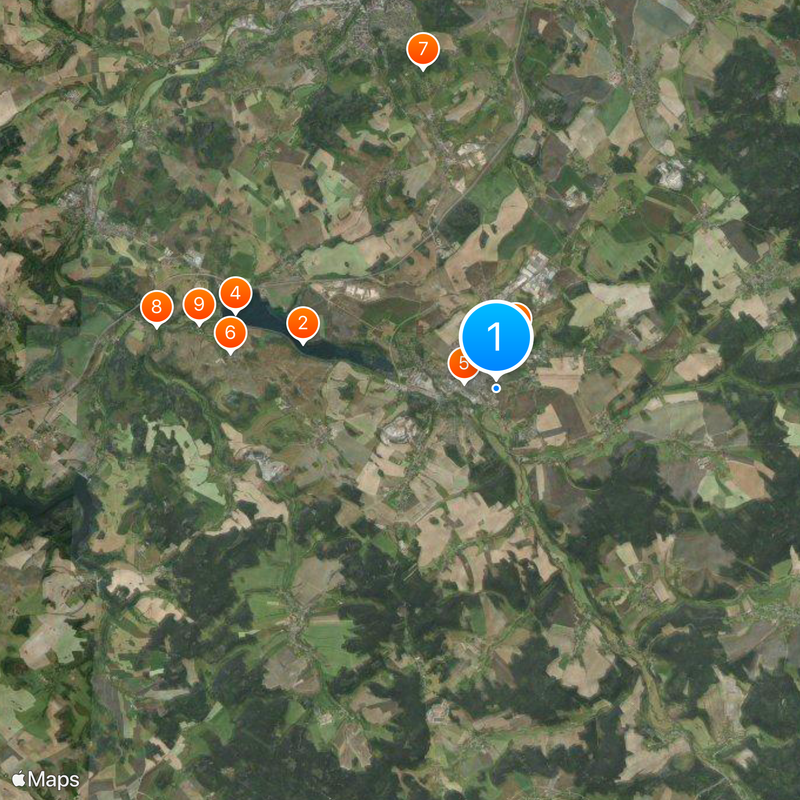
Talsperre Pirk
4.1 km
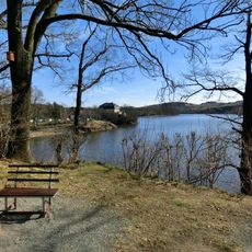
Schloss Voigtsberg
1.1 km
Ruine Stein (Sachsen)
5.6 km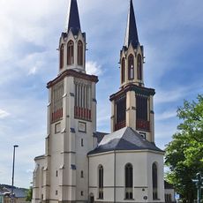
Saint James the Grater church in Oelsnitz/Vogtl.
660 m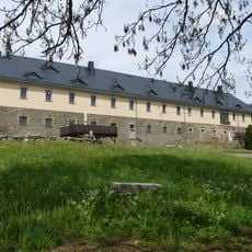
Rittergut Planschwitz
5.6 km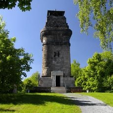
Kemmler Tower
6.8 km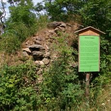
Burg Türbel
7.2 km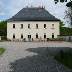
Rittergut Magwitz
6.3 km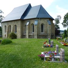
Wehrkirche Triebel
6.5 km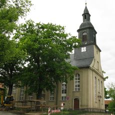
Stephanuskirche Oberlosa
5.3 km
Town hall (Oelsnitz)
444 m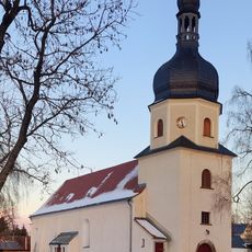
Kirche Taltitz
5.1 km
Freibad Elstergarten
642 m
Schützenhaus Oelsnitz
1 km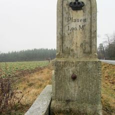
Royal Saxon milestone Weischlitz
6.7 km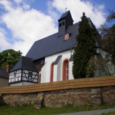
St. Katharinen-Kirche Dorfstraße
7.1 km
Grabstätte Weyse
4.5 km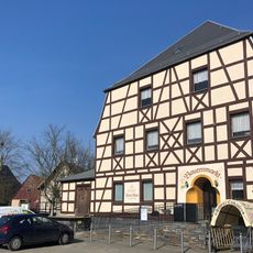
Gasthof Theuma; Leopolds Gasthof Hauptstraße 33
7.1 km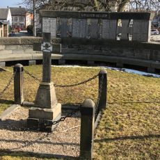
Kriegerdenkmal Hauptstraße
7.2 km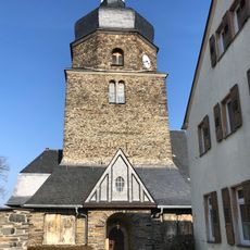
Maria-Magdalena-Kirche Hauptstraße
7.2 km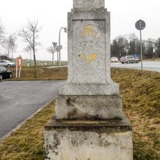
Polish-Saxon Post Milestone Weischlitz
6.7 km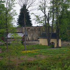
Kirchruine Obertriebeler Straße
6.5 km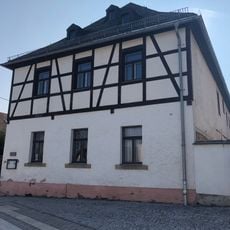
Pfarrhaus Hauptstraße 36
7.1 km
Vierseithof Mittelstraße 16
5.1 km
Waldbad Triebel
5.4 km
Villa Stöckigter Weg 1
7.3 km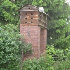
Taubenhaus Taltitzer Weg 9
5.1 km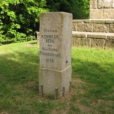
Station 153 Kemmlerberg
6.8 kmVisited this place? Tap the stars to rate it and share your experience / photos with the community! Try now! You can cancel it anytime.
Discover hidden gems everywhere you go!
From secret cafés to breathtaking viewpoints, skip the crowded tourist spots and find places that match your style. Our app makes it easy with voice search, smart filtering, route optimization, and insider tips from travelers worldwide. Download now for the complete mobile experience.

A unique approach to discovering new places❞
— Le Figaro
All the places worth exploring❞
— France Info
A tailor-made excursion in just a few clicks❞
— 20 Minutes