
Beuren, municipality of Germany
Location: Cochem-Zell
Elevation above the sea: 420 m
Website: http://www.ulmen.de/
Website: http://ulmen.de
GPS coordinates: 50.09444,7.07833
Latest update: March 21, 2025 21:42
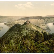
Marienburg
7.1 km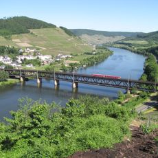
Moselbrücke Bullay
6.4 km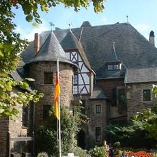
Burg Arras
5.1 km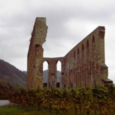
Kloster Stuben
3.3 km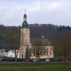
Spingiersbach Monastery
7.7 km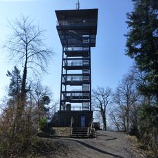
Prinzenkopfturm
6.4 km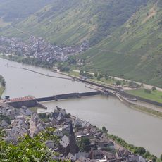
Staustufe St. Aldegund - Neef
4.2 km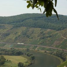
Hangviadukt Pünderich
6.3 km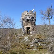
Entersburg
5.2 km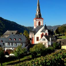
St. Martin (Ediger)
5.6 km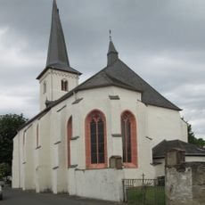
Mater Dolorosa (Driesch)
5.9 km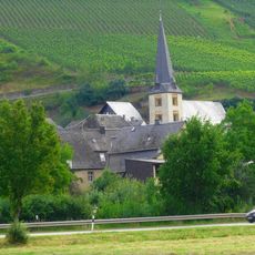
St. Hilarius
4.8 km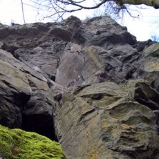
Falkenlay
4.2 km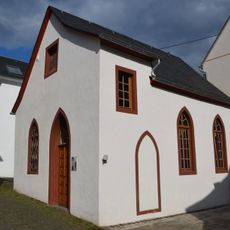
Synagoge
5.7 km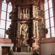
Bitter-Leidens-Altar
5.9 km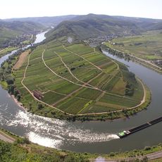
Hochkessel
6.5 km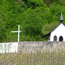
Bergkapelle Alf
5.3 km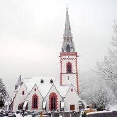
Sint-Martinuskerk
5.6 km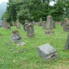
Neuer jüdischer Friedhof
6.7 km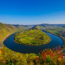
Blick auf Moselschleife Calmont
2.9 km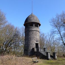
Bismarck Tower
3.4 km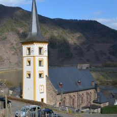
Saint Lawrence Church
2.8 km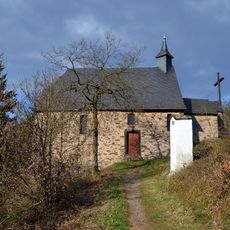
Kreuzkapelle
6.1 km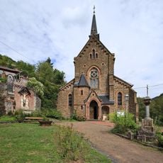
Katholische Kirche St. Remigius in Alf
5.4 km
Evangelische Kirche
3.7 km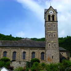
Saint Peter Church
3.9 km
Orgel der Katholische Wallfahrtskirche Mater Dolorosa - Driesch
5.9 km
Falkenlay
4.2 kmReviews
Visited this place? Tap the stars to rate it and share your experience / photos with the community! Try now! You can cancel it anytime.
Discover hidden gems everywhere you go!
From secret cafés to breathtaking viewpoints, skip the crowded tourist spots and find places that match your style. Our app makes it easy with voice search, smart filtering, route optimization, and insider tips from travelers worldwide. Download now for the complete mobile experience.

A unique approach to discovering new places❞
— Le Figaro
All the places worth exploring❞
— France Info
A tailor-made excursion in just a few clicks❞
— 20 Minutes