Cochem-Zell, Administrative district in Rhineland-Palatinate, Germany.
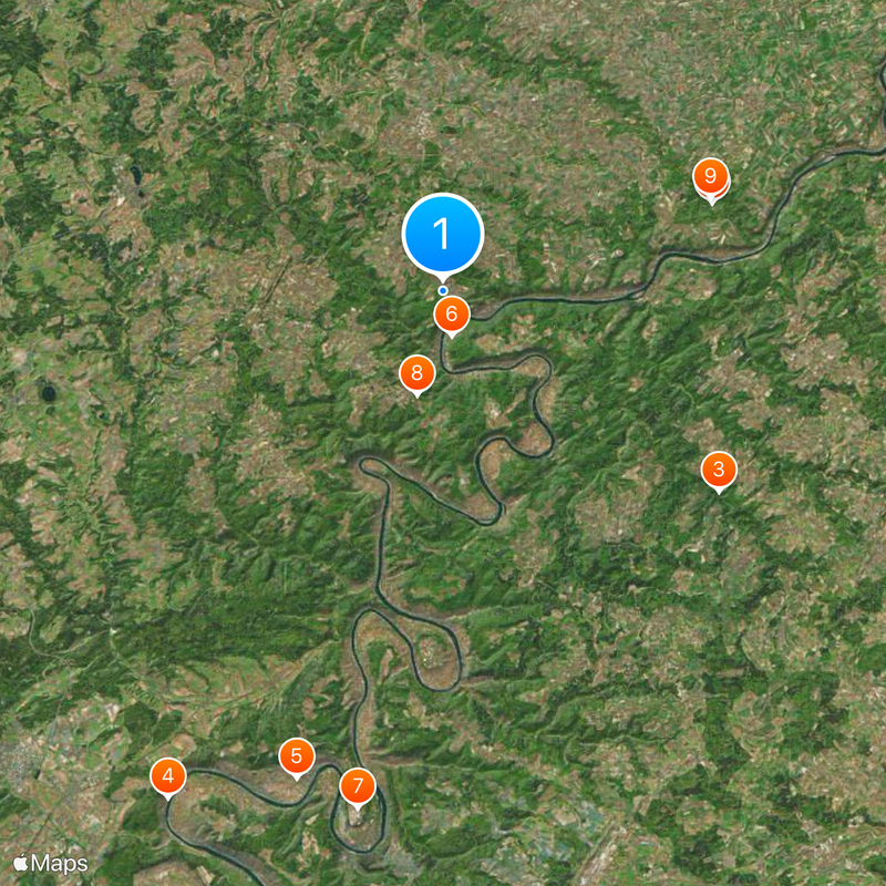
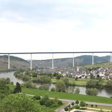
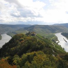
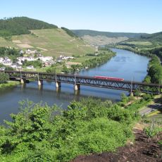
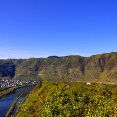
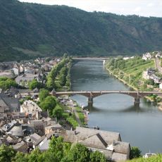
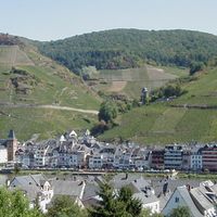
Cochem-Zell is an administrative district in Rhineland-Palatinate that spans three different landscapes: the Moselle valley with its vineyard terraces, the hills of the Hunsrück, and the rolling countryside of the Eifel. The district contains roughly 90 municipalities organized into four collective administrative units.
The district was established in 1816 under Prussian rule but gained its current structure in 1969 when the Zell and Cochem districts merged. This consolidation created a larger administrative unit to manage regional affairs more efficiently.
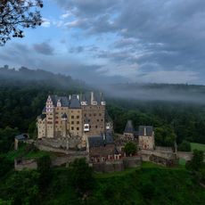
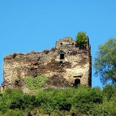
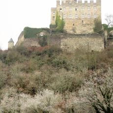
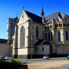
The coat of arms symbols reflect different historical rulers: a cross from Trier bishops, a hunting horn from Beilstein, and a lion from the Palatinate. You can spot these emblems on public buildings and in town centers throughout the area.
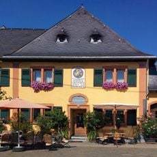
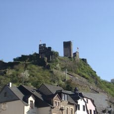
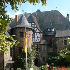
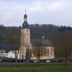
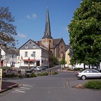
The area is best explored from local town centers, with Cochem being particularly accessible and serving as a good starting point. Visitors should know that rural areas and smaller villages may have different opening hours and limited services outside main centers.
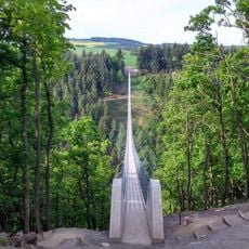
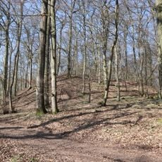
The Höchstberg mountain rises to 616 meters and marks the highest point in the district, giving the area a natural geographic anchor despite its diverse landscapes. The summit is accessible from several hiking trails and offers wide views across the surrounding countryside.
The community of curious travelers
AroundUs brings together thousands of curated places, local tips, and hidden gems, enriched daily by 60,000 contributors worldwide.