
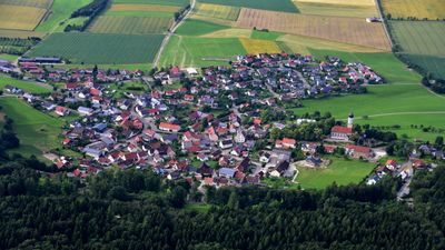
Auernheim, quarter of Nattheim, Baden-Württemberg, Germany
Location: Nattheim
Elevation above the sea: 584 m
GPS coordinates: 48.72920,10.29500
Latest update: April 13, 2025 02:46
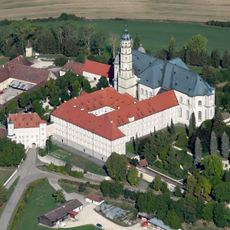
Neresheim Abbey
4.6 km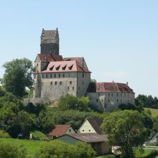
Katzenstein Castle
7.1 km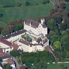
Schloss Taxis
7 km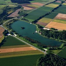
Härtsfeldsee
6.2 km
Zwing
3.1 km
St. Johannes Baptist (Dischingen)
6 km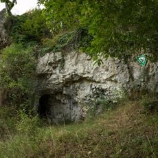
Ramensteinhöhle
5.7 km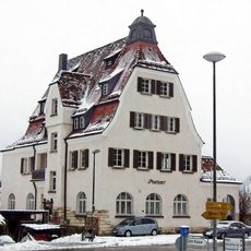
Bureau de poste de Neresheim
4 km
Burg Auernheim
301 m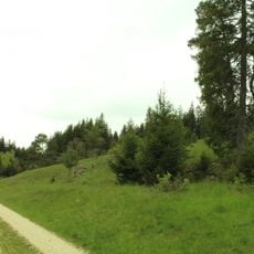
Heinzental
4.7 km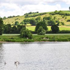
Egautal und Katzensteiner Tal mit angrenzenden großflächigen Geländeteilen
6.1 km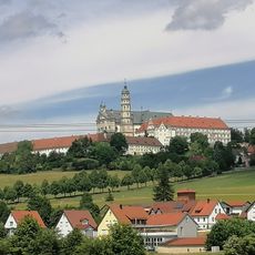
Härtsfeld Museumsbahn
4.1 km
Dossinger Tal
6.7 km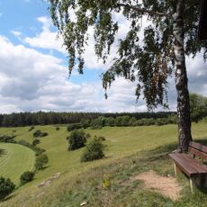
Dossinger Tal
6.5 km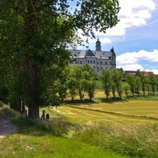
Klosterberg Neresheim
4.6 km
Egautal südlich von Neresheim (Landkreis Heidenheim)
3.3 km
Härtsfeld
7.2 km
Schanzhülbe
5.5 km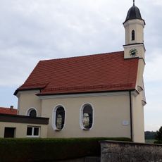
St. Ulrichs-Kapelle Kleinkuchen
3.9 km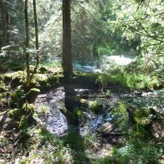
Hülbe im Adamshäule
7.1 km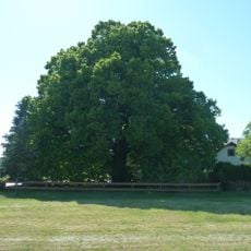
1 Linde beim Gasthaus in Nietheim
7.7 km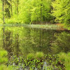
Fischgrube (ehem. Bohnerzgrube)
7.6 km
2 Linden mit Feldkreuz nordöstl.Rotensohl
6.4 km
1 Hainbuche an der Straße Rotensohl-Kleinkuchen
5.7 km
1 Feldahorn im Gewann Vordere Gemeinde
4.9 km
Gallengehrenquelle
6.1 km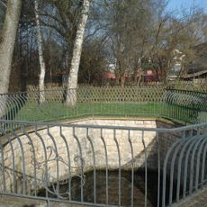
Egauquelle
3.8 km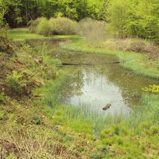
Ilgengrube (ehem. Bohnerzgrube)
7.5 kmVisited this place? Tap the stars to rate it and share your experience / photos with the community! Try now! You can cancel it anytime.
Discover hidden gems everywhere you go!
From secret cafés to breathtaking viewpoints, skip the crowded tourist spots and find places that match your style. Our app makes it easy with voice search, smart filtering, route optimization, and insider tips from travelers worldwide. Download now for the complete mobile experience.

A unique approach to discovering new places❞
— Le Figaro
All the places worth exploring❞
— France Info
A tailor-made excursion in just a few clicks❞
— 20 Minutes