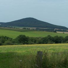
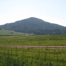
Baier, Mountain summit in Rhön region, Germany
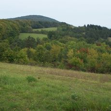
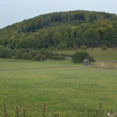
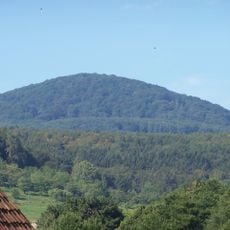
Baier is a mountain summit in the Rhön region that rises to about 714 meters with a conical profile. Its northern slopes feature two concentric stone walls built from basalt blocks.
The mountain was settled as far back as the Bronze Age and early Iron Age, as shown by nine burial mounds on its slopes. A surveying signal was placed on its peak in the early 1800s.
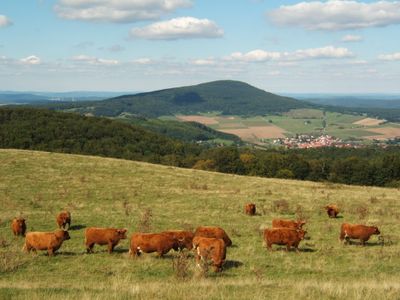
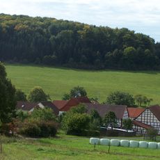
The mountain's name derives from a family with deep roots in the region. Today, visitors gather at the summit to enjoy panoramic views across the Rhön landscape.
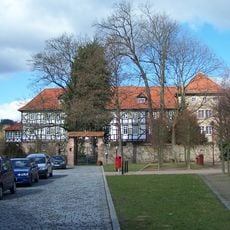
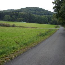
The marked T4 hiking route connects multiple trailheads from the nearby towns of Dermbach, Vacha, and Weilar. The paths are well-maintained and accessible from various starting points around the region.
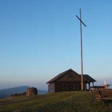
A wooden lookout tower called the Karl-August Tower stood on the peak from 1914 until a fire destroyed it in 1988. Local hikers still recall stories about the structure and its place in the mountain's past.
The community of curious travelers
AroundUs brings together thousands of curated places, local tips, and hidden gems, enriched daily by 60,000 contributors worldwide.